July 19, 2026
10:58 AM
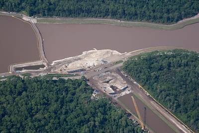
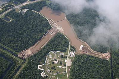
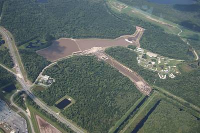
Aerial photos of a water management project West of Magic Kingdom. A tunnel will connect the two lakes. The excavation provided sand for Villains Land and Piston Peak National Park.
A permanent archive of @bioreconstruct’s aerial photos of construction around Walt Disney World and Universal Orlando — full-resolution originals, preserved daily. Every post links back to its source.
Aerial photos of a water management project West of Magic Kingdom. A tunnel will connect the two lakes. The excavation provided sand for Villains Land and Piston Peak National Park.
Aerial photo of construction of a tunnel connecting two new lakes at Walt Disney World. Excavation for the lakes provided sand for Piston Peak National Park and Villains land. The tunnel is wide, indicating there's a long term plan for a wide road/median across it.
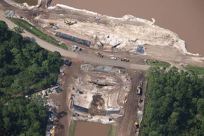
Aerial photo of a water management project in development West of Magic Kingdom. The excavation provided sand for Villains Land and Piston Peak National Park. Fireworks storage nearby.

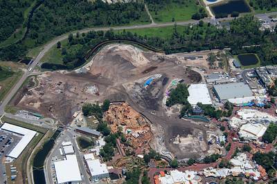
Aerial overview of construction at Villains Land and Piston Peak National Park.

Aerial photos of Big Thunder Mountain Railroad adjacent the construction sites of Villains Land and Piston Peak National Park. Tall fences were recently added for guest safety as well as show quality.
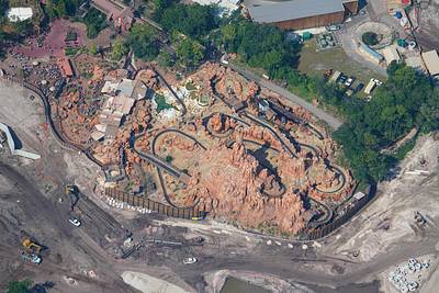

Aerial photos of infrastructure in development for Villains Land at Magic Kingdom.

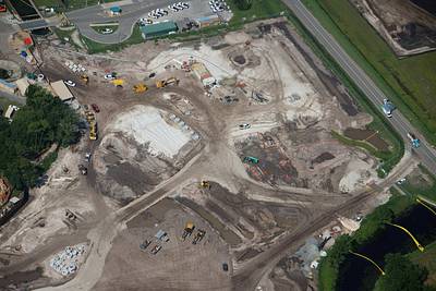
Aerial photos of infrastructure in development for Villains Land at Magic Kingdom.
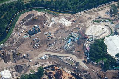

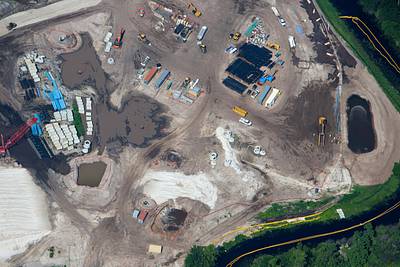
An aerial look at infrastructure development for Villains Land. Arrows at ducts to access electrical/fiber conduits. Also what may be a storm drain. Near Big Thunder Mountain Railroad.
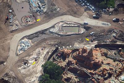
Aerial overview of the construction of Villains Land and Piston Peak National Park in Magic Kingdom.
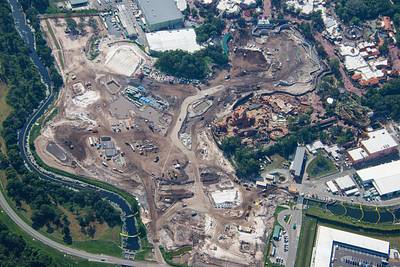
Aerial photos of Villains Land infrastructure development near where the Magic Kingdom service canal used to curve toward Rivers of America. North of Big Thunder Mountain Railroad. Connecting canal and River were filled in with sand to even the grade.
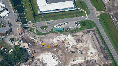
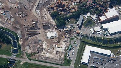

Left to right in this aerial photo is the Magic Kingdom service canal. Monorail (top right) crosses this canal. Electrical Water Pageant show barges are seen. At bottom is construction parking. Mostly for Piston Peak/Villains Land. At top center is some backstage construction.
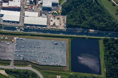
Aerial overview of construction at Villains land and Piston Peak National Park in Magic Kingdom. Large trees in site at top were relocated from Rivers of America. Seems like they will move to Piston Peak. There's work near the service canal in bottom right.
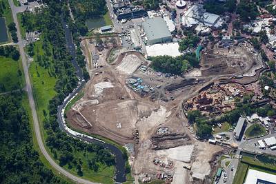
Aerial overview of Magic Kingdom. Construction of Villains Land and Piston Peak National Park at left.

Aerial overviews of construction of Villains Land and Piston Peak National Park.
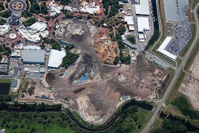

Aerial overviews of construction of Villains Land and Piston Peak National Park.