April 27, 2026
12:54 AM
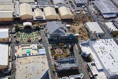
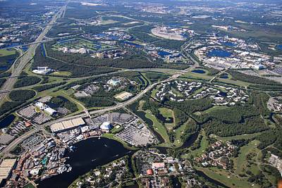
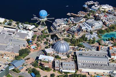
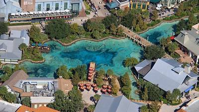
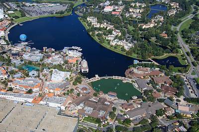
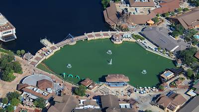
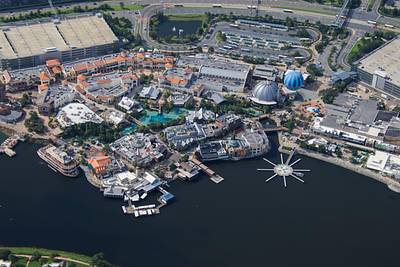
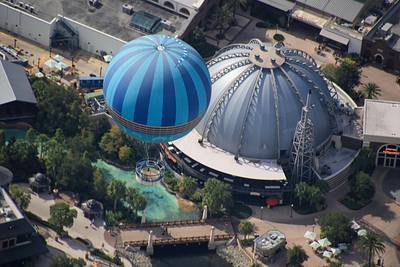
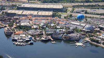
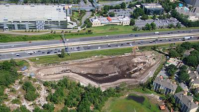
The newest episode of the @RetroWDW podcast discusses the history of the Downtown Disney West Side.
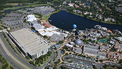
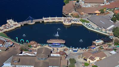
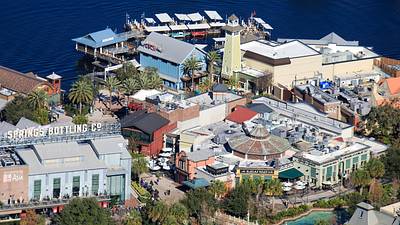
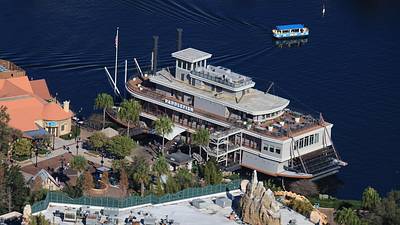
These two Apr 24 aerial photos of Disney Springs might be helpful references. Including the discussion of parking.
YouTube here, or your podcast app. https://www.youtube.com/watch?v=3R728Nl7Tp8
April 27, 2026
12:46 AM
Aerial photo of the recently changed exterior of Wyndham Lake Buena Vista - Disney Springs Area.
January 18, 2026
4:18 PM
Aerial photo of the Waterside Stage in Disney Springs.
January 18, 2026
4:12 PM
Aerial photo of Raglan Road, The Boathouse, and Morimoto Asia in Disney Springs.
January 18, 2026
4:09 PM
Aerial photo of Paddlefish in Disney Springs.
November 27, 2025
2:09 AM
Aerial look at New York in Universal Studios Florida. Christmas tree seen at center.
Roller coaster construction is seen along top of this photo.
October 20, 2025
12:04 AM
This aerial photo might show what it's like to fly above Walt Disney World at 3100 feet.
Disney Springs in bottom left. EPCOT in upper right. Typhoon Lagoon at center.
October 19, 2025
11:08 PM
A lot of history is in this aerial photo.
Top right is the former Pleasure Island.
It was later joined at left by The West End, and Planet Hollywood.
Followed by additions to create Disney Springs in bottom right.
October 19, 2025
11:04 PM
Aerial photo of the namesake of Disney Springs.
September 21, 2025
12:56 PM
Aerial photos of Disney Springs.
August 2, 2025
11:55 PM
Aerial photo of Disney Springs.
August 2, 2025
11:53 PM
Aerial photo of Aerophile above Planet Hollywood in Disney Springs.
May 10, 2025
10:18 AM
Aerial photo of Disney Springs.
May 10, 2025
10:10 AM
Aerial photo of a retention pond excavation. Drainage related to I-4 widening in the Disney Springs area.