November 30, 2025
8:40 PM
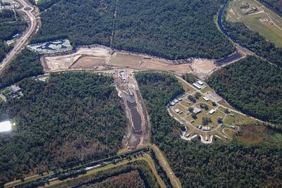
Aerial photo of the development of a water management feature West of Magic Kingdom.
A permanent archive of @bioreconstruct’s aerial photos of construction around Walt Disney World and Universal Orlando — full-resolution originals, preserved daily. Every post links back to its source.
Aerial photo of the development of a water management feature West of Magic Kingdom.
Aerial photos of the construction staging areas West of Magic Kingdom.
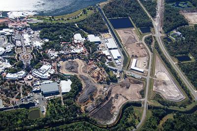
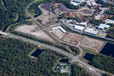
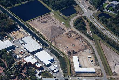
Aerial overview of the development of Villains land. Sand is being placed at left, where forest has been cleared.
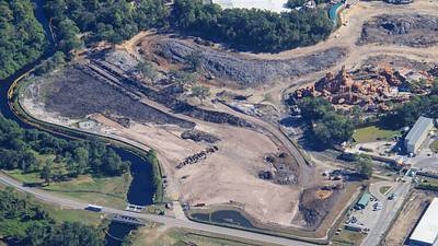
Aerial photos of the development of Villains land. Part of the site is former Rivers of America.
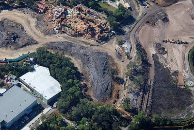
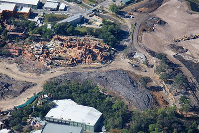
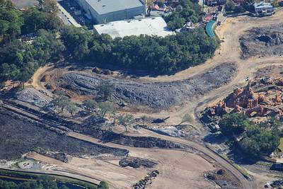
Aerial photo of the construction site of Villains land.
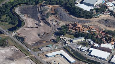
Aerial photos of construction site of Piston Peak National Park. Formerly Tom Sawyer Island.
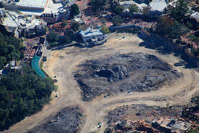
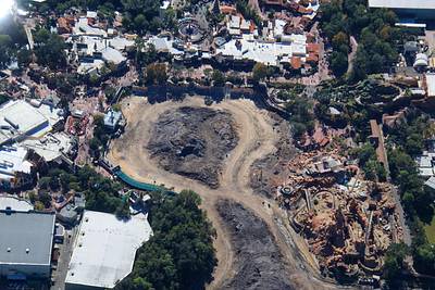
Aerial photo of construction site of Piston Peak National Park. Formerly Tom Sawyer Island.
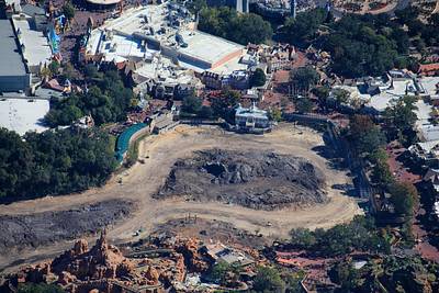
Aerial photo of construction site of Piston Peak National Park. Formerly Tom Sawyer Island.
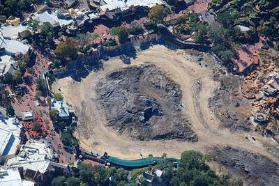
Aerial photo of the demolition of Rivers of America in Magic Kingdom.
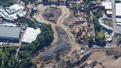
Aerial photo of the demolition of Rivers of America in Magic Kingdom. Sand is being placed in foreground. Used to be a forested area.
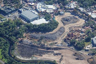
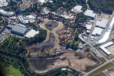
Aerial overview of construction in Magic Kingdom. • Piston Peak National Park near Frontierland. • Villains land in the large cleared area from center of the photo to the bottom.
Aerial photo of pyro firing at Cinderella Castle.
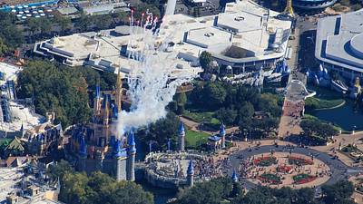
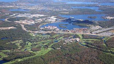
Aerial overview of the Magic Kingdom resort area. Vacation Kingdom of the World.
Crescent Moon behind Toothsome Chocolate Emporium.
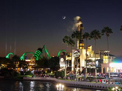
Some of the details of the entrance of Earl and Gerg's Nutcracker Lodge and Emporium & Museum & Car Wash. In the Tribute Holiday Market.

