October 20, 2025
12:04 AM
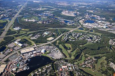
This aerial photo might show what it's like to fly above Walt Disney World at 3100 feet. Disney Springs in bottom left. EPCOT in upper right. Typhoon Lagoon at center.
A permanent archive of @bioreconstruct’s aerial photos of construction around Walt Disney World and Universal Orlando — full-resolution originals, preserved daily. Every post links back to its source.
This aerial photo might show what it's like to fly above Walt Disney World at 3100 feet. Disney Springs in bottom left. EPCOT in upper right. Typhoon Lagoon at center.
The Disney Dish podcast has been discussing the history of Pleasure Island/Disney Springs. Tomorrow's episode discusses the area seen in the aerial photo in the first Post of this Thread. (I listened with early access in Patreon.)

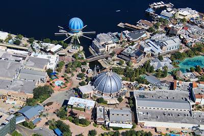
A lot of history is in this aerial photo. Top right is the former Pleasure Island. It was later joined at left by The West End, and Planet Hollywood. Followed by additions to create Disney Springs in bottom right.
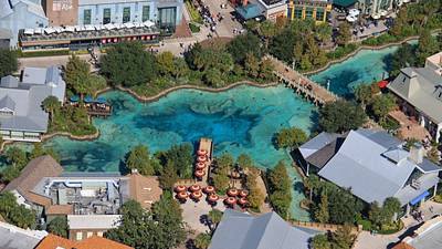
Aerial photo of the namesake of Disney Springs.