June 27, 2026
1:47 PM
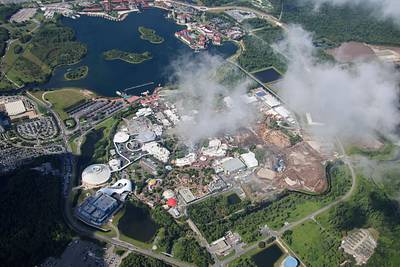
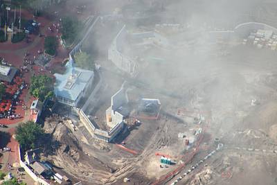
Aerial photo of the demolition of the Sinbad Theater area in Islands of Adventure. Concrete walls toward the right are where a deep pool was for high diving and other water stunts.

A permanent archive of @bioreconstruct’s aerial photos of construction around Walt Disney World and Universal Orlando — full-resolution originals, preserved daily. Every post links back to its source.
Aerial photo of the demolition of the Sinbad Theater area in Islands of Adventure. Concrete walls toward the right are where a deep pool was for high diving and other water stunts.
Aerial photo of the demolition of the Sinbad Theater area in Islands of Adventure.

Aerial photo of the demolition of the Sinbad Theater area in Islands of Adventure.
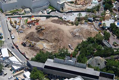
Aerial photos of the staging for Fast & Furious Hollywood Drift.
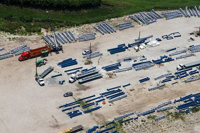

Pile of debris inside the demolition of The Lost Continent.

Aerial photo (through clouds) of a staging area for sand. West of Magic Kingdom. Sand is transferred when needed to sites at Piston Peak National Park and Villain's land.
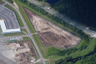
Aerial photo of the Piston Peak National Park construction site, and an overview including the Villain's land site.
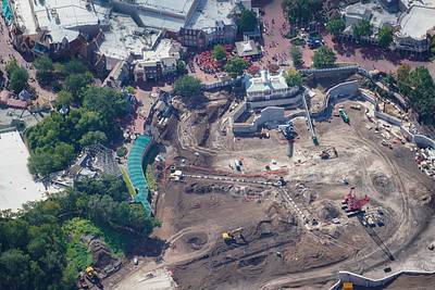
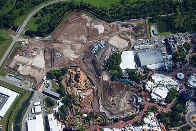
Aerial photos of site preparation for Villain's land in Magic Kingdom.
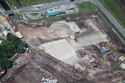
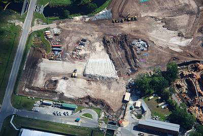

Aerial photos of work to create a body of water that will connect to the Magic Kingdom service canal. The canal used to connect to Rivers of America.
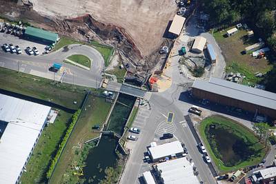

Aerial photo of work to create a body of water that will connect to the Magic Kingdom service canal (where Electrical Water Pageant barges are stored). Rivers of America used to be at trees at left. Liberty Belle used this canal to reach the marina North of Contemporary resort.

Aerial overview of construction at Villains land and Piston Peak National Park in Magic Kingdom. Large trees in site at top were relocated from Rivers of America. Seems like they will move to Piston Peak. There's work near the service canal in bottom right.
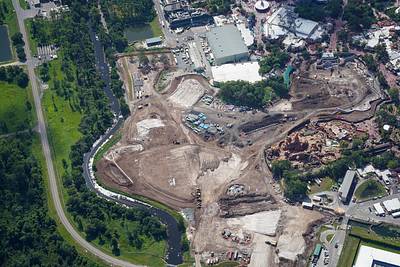
Aerial photo of sand filled and graded between a retaining wall and Tiana's Bayou/Big Thunder. For construction of Piston Peak National Park.
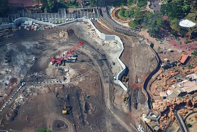
Aerial photo of sand filled and graded between a retaining wall and Big Thunder/Tiana's Bayou. For construction of Piston Peak National Park.
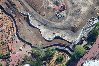
Aerial photo of Piston Peak National Park development near Liberty Square. A green conveyor is bringing sand to fill in the area between the theme park walkway and the retaining wall. Sand grading also continues in areas at right. Utility work also in progress.
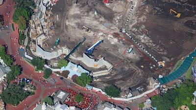
Summer is a challenging time of dodging clouds for Magic Kingdom aerial photos. Piston Peak National Park construction seen in second photo.