March 3, 2026
12:32 AM
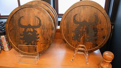
The UOAP/UOTM discount shop (The Brown Derby) has wall art for sale that is similar to a pair of restroom signs in The Isle of Berk.
A permanent archive of @bioreconstruct’s aerial photos of construction around Walt Disney World and Universal Orlando — full-resolution originals, preserved daily. Every post links back to its source.
The UOAP/UOTM discount shop (The Brown Derby) has wall art for sale that is similar to a pair of restroom signs in The Isle of Berk.
Another baked good removed (at left) from the cook's tray in the Mardi Gras Tribute Store.

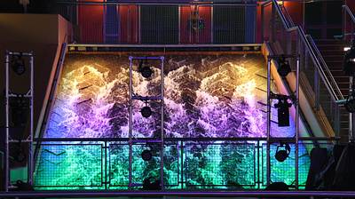
Mardi Gras colors at the CityWalk fountain stage.
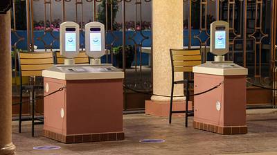
Is new color pending at the Universal Studios Florida entrance podiums? This color recently changed to white at the entrance buildings.
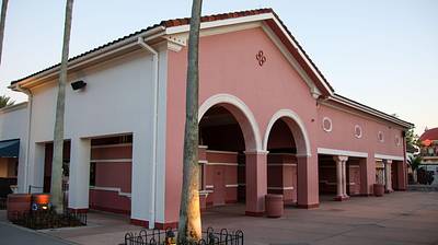
A building at the Universal Studios Florida entrance that is being painted white.
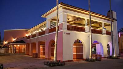
Buildings at the Universal Studios Florida entrance that were recently painted white.
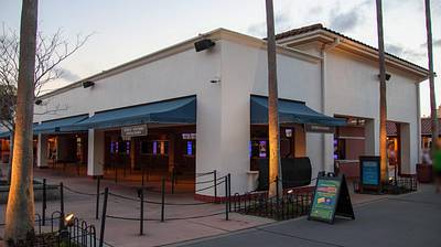
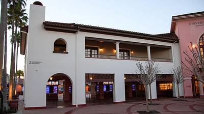
Buildings at the Universal Studios Florida entrance are being painted white.
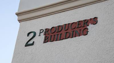
Buildings at the Universal Studios Florida entrance are being painted white.
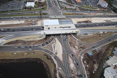
Aerial photos of current work at the I-4 interchange with Sand Lake Rd. The center lanes will temporarily be used for I-4 EB. Switching to tolled Express Lanes after WB overpass is rebuilt. The lanes closest to the camera are for I-4 WB and Sand Lake WB to reach Turkey Lake Rd.
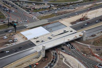
Aerial photo of the paving for the new I-4 WB exit primarily to Turkey Lake Rd SB. Also NB to Whole Foods. This is also where a cloverleaf will take Sand Lake Rd WB traffic to Turkey Lake SB, eliminating the heavily congested left turn.
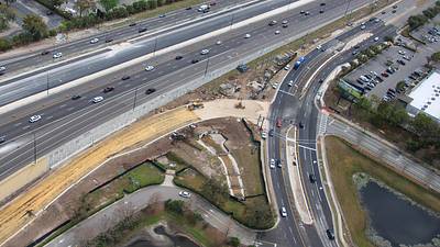
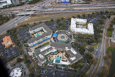
Aerial photo of The Marriott Village. SR 535 interchange with I-4 at top left.
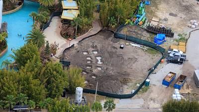
Aerial photos of the development of additional cabanas in Volcano Bay. Concrete footers have markings.
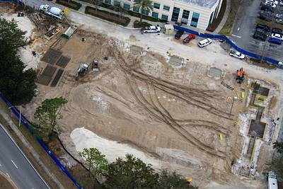
Aerial photos of construction of a parking garage in the Universal property South of Volcano Bay.
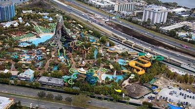
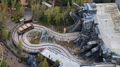
Aerial photo of Skull Island: Reign of Kong.
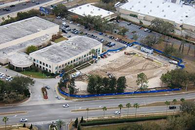
Aerial photo of Helios Grand Hotel.