February 16, 2026
1:15 AM
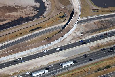
Feb 13 aerial photos of construction of the ramp from SR 535 Apopka-Vineland Rd NB to I-4 WB.


A permanent archive of @bioreconstruct’s aerial photos of construction around Walt Disney World and Universal Orlando — full-resolution originals, preserved daily. Every post links back to its source.
Feb 13 aerial photos of construction of the ramp from SR 535 Apopka-Vineland Rd NB to I-4 WB.
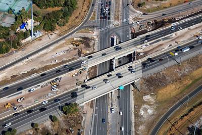
Feb 13 aerial photos of the widening of the I-4 interchange with SR 535 Apopka-Vineland Rd.

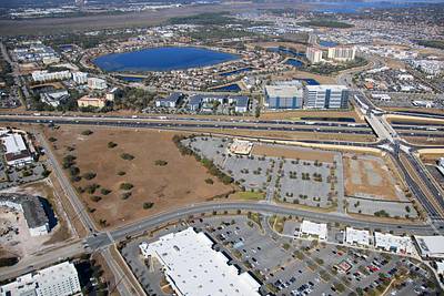
Aerial photo of where AREA15 Orlando was planned. The site was recently purchased by Walmart. At top right are Target, and the I-4/Daryl Carter Blvd interchange.

Land at left in this aerial photo was planned to be AREA15 Orlando. A counterpart to AREA15 Las Vegas, where Universal Horror Unleashed opened last year. The pandemic ended the plan. Property has been for sale, and was recently purchased by Walmart. Daryl Carter/I-4 at right.
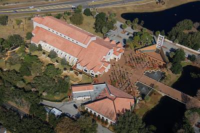
Aerial photo of Basilica of the National Shrine of Mary, Queen of the Universe near Lake Buena Vista.
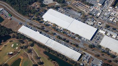
Aerial photo of Walt Disney World support buildings near the North end of Buena Vista Drive.

Aerial photo of Walt Disney World support buildings near the North end of Buena Vista Drive. 1 Where the modular hotel rooms were manufactured for Contemporary Resort and the original longhouses in Polynesian Resort. 2 One of the Textile Services facilities, with a tour gallery.

Aerial photo of Walt Disney World warehouses at the North end of Buena Vista Drive.
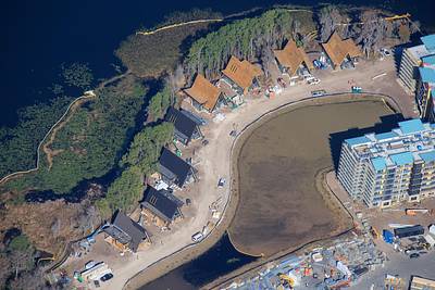
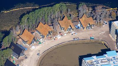
Aerial photo of A-frame villas in development at Disney's Lakeshore Lodge.
Aerial photo of a pool in construction at Disney's Lakeshore Lodge.
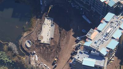
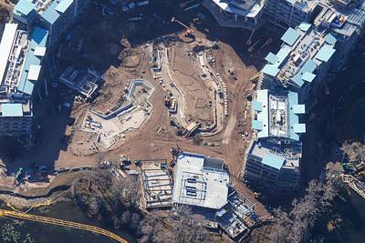
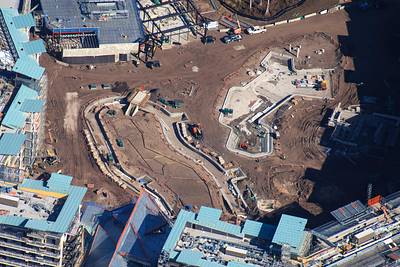
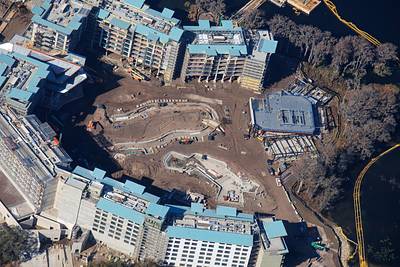
Aerial photos of the development of the lazy river courtyard of Disney's Lakeshore Lodge.
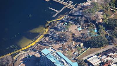
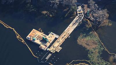
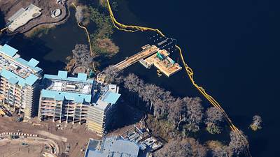
Aerial photos of boat dock construction at Disney's Lakeshore Lodge.
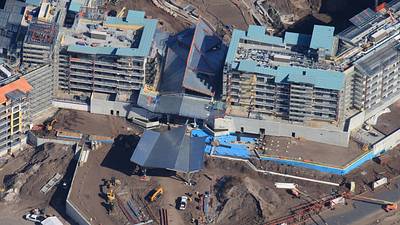
Aerial photo of construction of the Porte-cochère at Disney's Lakeshore Lodge.
Aerial photos of A-frame villa construction at Disney's Lakeshore Lodge.
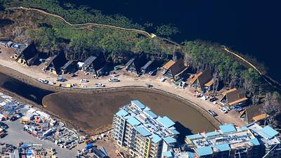
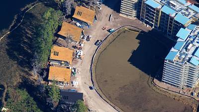
Aerial look at A-frame villa construction at Disney's Lakeshore Lodge.