January 25, 2026
12:58 AM
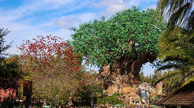
Splash of red at left in a guest's first view of The Tree of Life. When entering Animal Kingdom in winter.
A permanent archive of @bioreconstruct’s aerial photos of construction around Walt Disney World and Universal Orlando — full-resolution originals, preserved daily. Every post links back to its source.
Splash of red at left in a guest's first view of The Tree of Life. When entering Animal Kingdom in winter.
Beginning of a chalk artwork in the EPCOT Festival of the Arts.

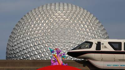
Figment, Monorail Black, and Spaceship Earth.
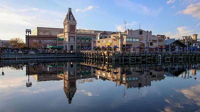
Mirror glass San Francisco skyline in Universal Studios Florida.
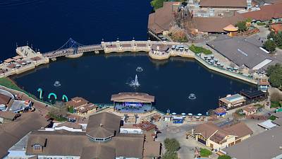
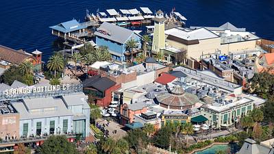
Aerial photo of the Waterside Stage in Disney Springs.
Aerial photo of Raglan Road, The Boathouse, and Morimoto Asia in Disney Springs.
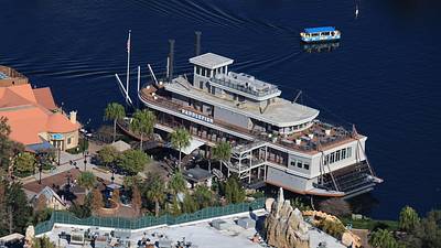
Aerial photo of Paddlefish in Disney Springs.
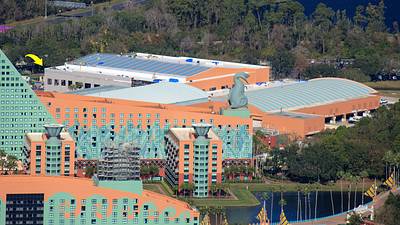
Aerial photo of the Walt Disney World Swan and Dolphin resorts.

Arrow in this aerial photo at the expanding meeting and event space of the Walt Disney World Dolphin resort. Exterior painting is in progress.
Aerial overview of Caribbean Beach Resort and the EPCOT resort area. Magic Kingdom at top left.

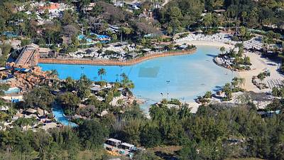
Aerial photos of Typhoon Lagoon when closed due to very cold weather on Jan 16.
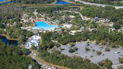
Aerial look at current roads near Polynesian Resort. The resort entrance recently changed.

Aerial overview of the widening and rerouting of Floridian Way in the Magic Kingdom resort area.
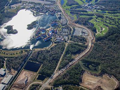
Aerial photos of where a roundabout will be built in the widening of Floridian Way. Primary access of Grand Floridian resort. Walt Disney World half and full marathons traveled on the existing Floridian Way last weekend.
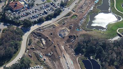

Aerial photos of a roundabout in the widening of Floridian Way. A state road, funded by a Disney property tax. Road at left ends at the Disney property line. Disney will later build an access of Grand Floridian resort here.

