January 18, 2026
4:39 PM
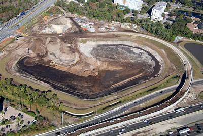
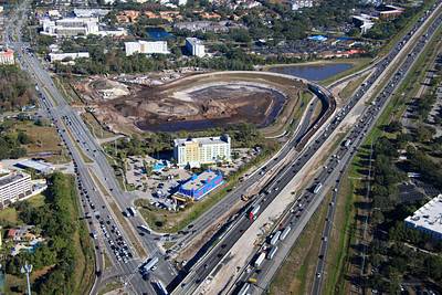
Aerial photos of current work at the I-4 and SR 535 Apopka-Vineland Rd interchange.

A permanent archive of @bioreconstruct’s aerial photos of construction around Walt Disney World and Universal Orlando — full-resolution originals, preserved daily. Every post links back to its source.
Aerial photos of current work at the I-4 and SR 535 Apopka-Vineland Rd interchange.
Aerial photos of current work at I-4 and Sand Lake Rd. • New overpass. • New ramp for Sand Lake WB to Turkey Lake Rd SB.
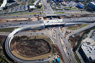
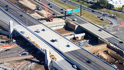
Aerial photos of a roundabout in the widening of Floridian Way. A state road, funded by a Disney property tax. Road at left ends at the Disney property line. Disney will later build an access of Grand Floridian resort here.


Aerial photos of pool construction in Ft Wilderness.
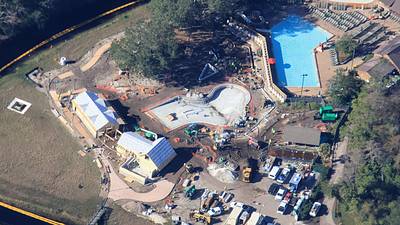

Aerial overviews of the Disney Lakeshore Lodge construction site.
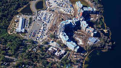
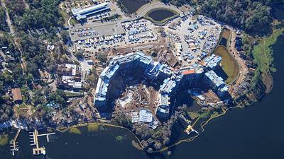
Aerial photos of construction of what may be known as the quiet pools of Disney Lakeshore Lodge. Seen with heavy shade from low angle Winter Sun.
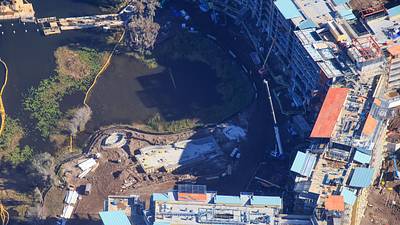
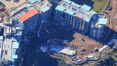
Aerial photos of wings under construction near the lazy river pool area of Disney Lakeshore Lodge.
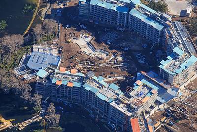
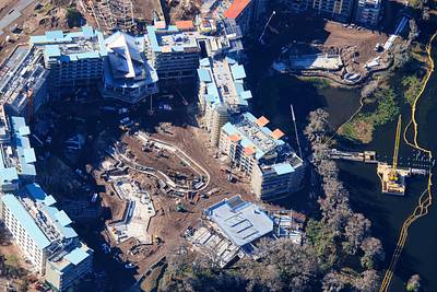
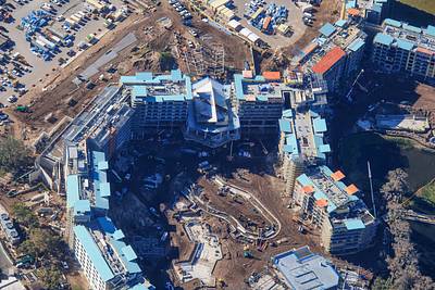
Aerial photos of pool and river construction at Disney Lakeshore Lodge. Seems like a bridge is in development over the river.
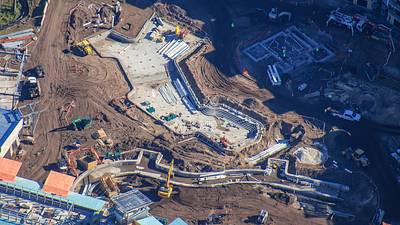
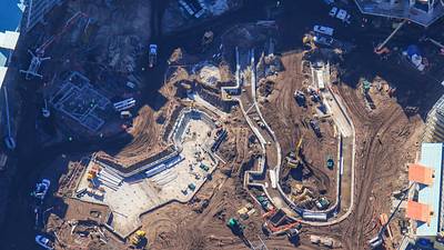
Aerial photos of clubhouse construction at Disney Lakeshore Lodge. Seems like a bridge is in development, over the lazy river, in top left of first photo
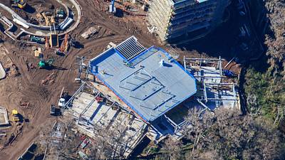
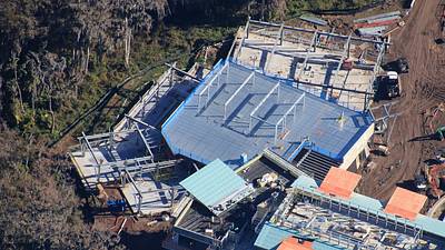
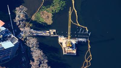
Aerial photo of dock construction at Disney Lakeshore Lodge.
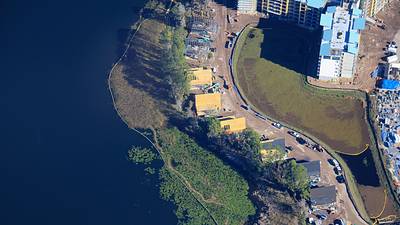
Aerial photos of villa construction at Disney Lakeshore Lodge.


Aerial photos of villa construction at Disney Lakeshore Lodge.


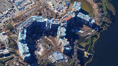
Aerial overview of Disney Lakeshore Lodge construction.

Aerial overview of Disney Lakeshore Lodge construction.
Aerial photo of Big Thunder Mountain. Gravel path at top is clear of track for the Magic Kingdom steam train.
