December 5, 2025
12:55 AM
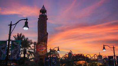
Sunset at Islands of Adventure.
A permanent archive of @bioreconstruct’s aerial photos of construction around Walt Disney World and Universal Orlando — full-resolution originals, preserved daily. Every post links back to its source.
Sunset at Islands of Adventure.
Optimus Prime as a prank taps the Moon to fall out of the sky and hit Minion Bob on the head.

Aerial photos of ramp construction in the redo of the I-4 interchange with SR 435 S Apopka-Vineland Rd.
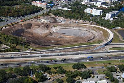

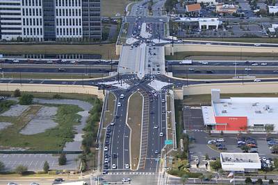
Aerial photo of the Diverging Diamond interchange of I-4 and Daryl Carter Pwy.
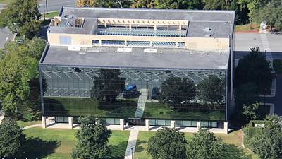
Aerial photo of the Partners Building in Lake Buena Vista. Plan was to develop a city with many of these buildings. See page 21 in the PDF at this URL. A scan of a PeopleMover document provided by Bob Gurr to the Disney Docs archive. https://www.disneydocs.net/lake-buena-vista-peoplemover
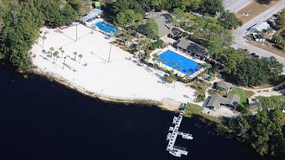
Aerial photo of Mickey's Retreat. A Walt Disney World recreation park for Cast Members only.
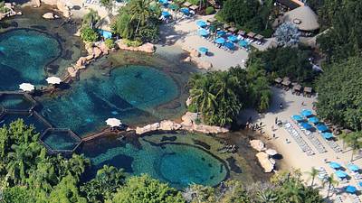
Aerial photo of guests enjoying a section of Discovery Cove.

Aerial photo of Dolphins and guests of Discovery Cove.
Aerial photo of Four Seasons Resort Orlando, in Golden Oak at Walt Disney World.
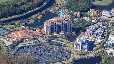
Aerial look at Port Orleans Riverside.
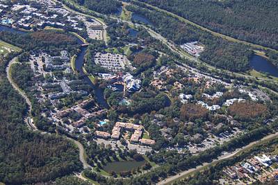
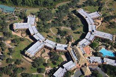
Aerial overview of Animal Kingdom Lodge and Villas.

Aerial overview of Animal Kingdom Lodge.
Aerial photos of a Walt Disney World property line to the West.

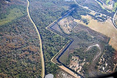
Aerial overview of Flamingo Crossings. The Western-most section of the Walt Disney World property.

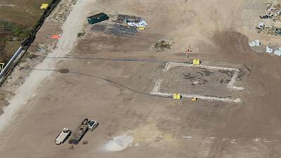
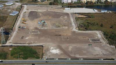
Aerial photos of dewatering processes in site of Catchlight Crossings. Affordable housing in development by Universal near Epic Universe.