November 8, 2025
12:55 AM
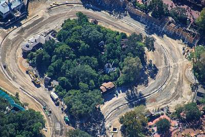
Aerial look at the demolition of Rivers of America in Magic Kingdom.

A permanent archive of @bioreconstruct’s aerial photos of construction around Walt Disney World and Universal Orlando — full-resolution originals, preserved daily. Every post links back to its source.
Aerial look at the demolition of Rivers of America in Magic Kingdom.
Aerial overview of demolition of Rivers of America. • Villains land to be at left. • Piston Peak National Park to be where the smaller island and river were at right.

Aerial overview of demolition of Rivers of America. • Villains land to be at top left. • Piston Peak National Park to be at right.

Aerial overview of demolition of Rivers of America. • Villains land to be at left. • Piston Peak National Park to be at right.

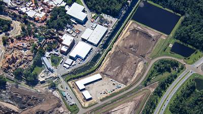
Monorail view and Oct 12 aerial photo of where a roundabout will be built in the re-routing of Floridian Way.
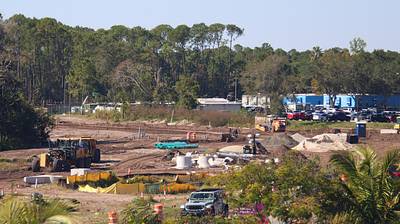
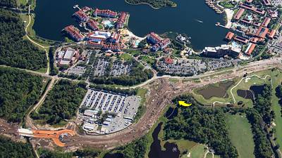
Monorail view of Magic Kingdom construction staging areas, and Oct 12 aerial photo. Berm likely to have trees and shrubs. Many decades plan could be marina and parade buildings shift West. Marina docks in pond, with canal access. Service area replaced by attractions.
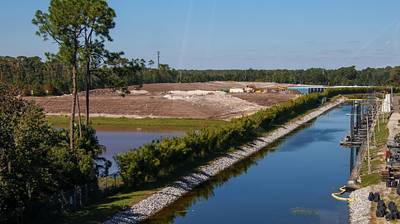
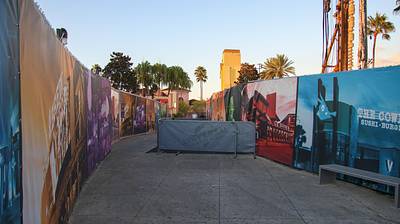
Work related to a new roller coaster near CityWalk extended into the fenced walkway through the construction site. Fresh asphalt behind barriers 2nd photo is an aerial view Oct 12.

Pile of debris from the demolition of base of the Hollywood Rip Ride Rockit tower today.

Aerial photo of demolition activity at site of the former Fort Langhorn in Magic Kingdom.

Aerial overview of demolition of structures on the islands of former Rivers of America.

At right in this aerial photo is demolition of a cave on the former Tom Sawyer Island in Magic Kingdom.
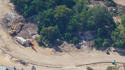
Aerial overview of demolition at Tom Sawyer Island. • A windmill previously at top center. • Aunt Polly's was at bottom center. • A Mill or water wheel at left.

Aerial photo of former Tom Sawyer Island on Oct 12. Six days prior to photo in first Post of this Thread. Aunt Polly's was at bottom left.

Aerial photo of the demolition of most structures on former Tom Sawyer Island. Aunt Polly's was at bottom left.

Aerial photo of Tom Sawyer Island on Oct 12. Six days prior to the photo in first Post of this Thread, where most structures are now demolished.