October 20, 2025
12:55 AM
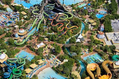
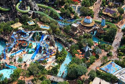
Aerial photo of inside Volcano Bay.
A permanent archive of @bioreconstruct’s aerial photos of construction around Walt Disney World and Universal Orlando — full-resolution originals, preserved daily. Every post links back to its source.
Aerial photo of inside Volcano Bay.
Aerial photo of inside Volcano Bay.
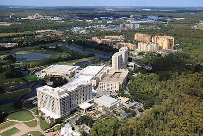
Aerial photo of Waldorf Astoria Orlando in Bonnet Creek resort. EPCOT Resort area at top of this photo.
Aerial photo of the lobby building of Art of Animation resort. Disney Skyliner station at top of this photo.
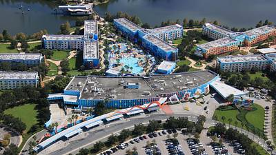
Aerial photo of the Little Mermaid section of Art of Animation resort.
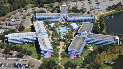
Lady and the Tramp can be seen in this aerial photo of the 1950's section of Pop Century resort.
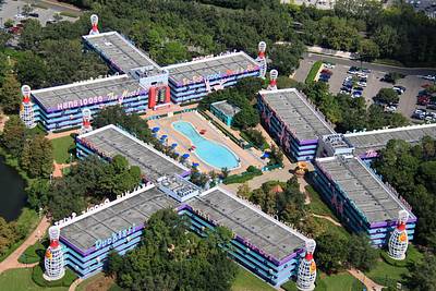
Aerial photo of the Hippy Dippy pool in Pop Century resort. Animals are inside a can of Play-Doh at top left.
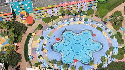
This aerial photo might show what it's like to fly above Walt Disney World at 3100 feet. Disney Springs in bottom left. EPCOT in upper right. Typhoon Lagoon at center.
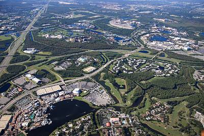
Aerial photo of EPCOT.
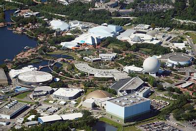
In foreground of this aerial photo is the EPCOT resort area. In background, the Magic Kingdom resort area.
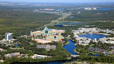
Aerial photo of the Walt Disney World Swan and Dolphin resorts. In background is lodging in Flamingo Crossings. The west-most area of the WDW property.
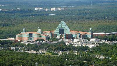
Aerial photo of Riviera resort, World Showcase, Yacht Club, and Beach Club.
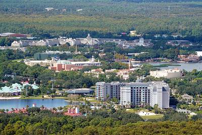
A lot of history is in this aerial photo. Top right is the former Pleasure Island. It was later joined at left by The West End, and Planet Hollywood. Followed by additions to create Disney Springs in bottom right.
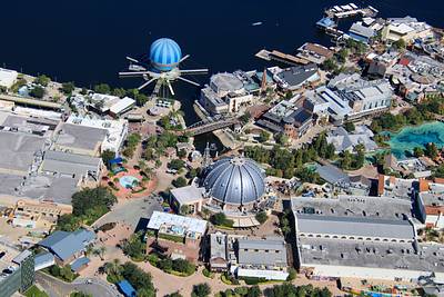
Aerial photo of the namesake of Disney Springs.
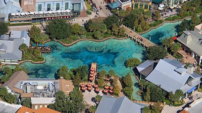
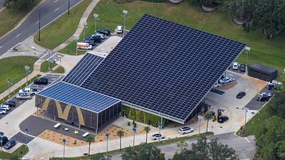
Aerial photo of the remaining McDonald's restaurant on Walt Disney World property.