October 19, 2025
4:30 PM
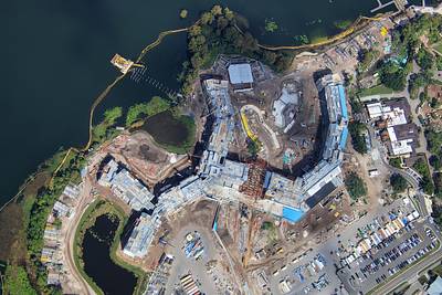
A nearly straight-down aerial photo of Disney's Lakeshore Lodge construction.
A permanent archive of @bioreconstruct’s aerial photos of construction around Walt Disney World and Universal Orlando — full-resolution originals, preserved daily. Every post links back to its source.
A nearly straight-down aerial photo of Disney's Lakeshore Lodge construction.
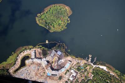
A nearly straight-down aerial photo of Disney's Lakeshore Lodge construction, and Discovery Island. As seen from 3100 ft.
Aerial look at the former Rivers of America in Magic Kingdom.

Aerial photo of demolition activity at site of the former Fort Langhorn in Magic Kingdom.

Aerial overview of demolition of structures on the islands of former Rivers of America.

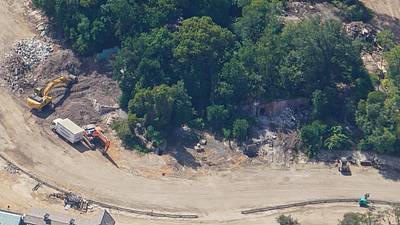
At right in this aerial photo is demolition of a cave on the former Tom Sawyer Island in Magic Kingdom.
Aerial overview of demolition at Tom Sawyer Island. • A windmill previously at top center. • Aunt Polly's was at bottom center. • A Mill or water wheel at left.

Aerial photo of former Tom Sawyer Island on Oct 12. Six days prior to photo in first Post of this Thread. Aunt Polly's was at bottom left.

Aerial photo of the demolition of most structures on former Tom Sawyer Island. Aunt Polly's was at bottom left.

Aerial photo of Tom Sawyer Island on Oct 12. Six days prior to the photo in first Post of this Thread, where most structures are now demolished.
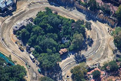
Aerial photo of demolition of structures on former Tom Sawyer Island in Magic Kingdom.

Aerial photo 6 days ago of Tom Sawyer Island. Most structures, including the windmill, have been demolished. Compare to first Post in this Thread.
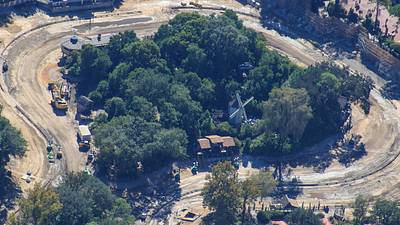
Aerial photo of demolition at former Tom Sawyer Island. A windmill used to be at center of this photo.

Aerial photo of demolition at former Tom Sawyer Island.

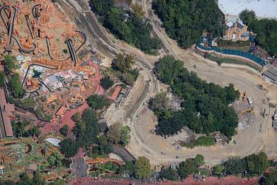
Aerial photo of the Piston Peak National Park work site relative to Big Thunder, Tiana's Bayou, and Haunted Mansion.