the BERM record Walt Disney World Map Archive
From above

The aerial archive

A permanent archive of @bioreconstruct’s aerial photos of construction around Walt Disney World and Universal Orlando — full-resolution originals, preserved daily. Every post links back to its source.

25,792
photos
21,321
posts
spanning
November 2023 – August 2026
latest
August 3, 2026
More filters ↓
Project
Villains land 101 Piston Peak 65 Fast & Furious: Hollywood Drift 53 Tropical Americas 33 Monsters Inc. land 15 Hollywood Rip Ride Rockit replacement 12 Lost Continent demolition 12 Luke Combs' Category 10 12
+40 more

Jump to a month

October 15, 2025 2:05 AM

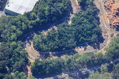
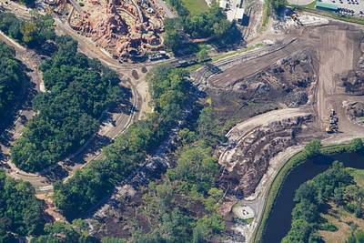
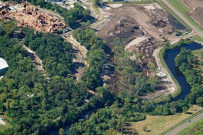
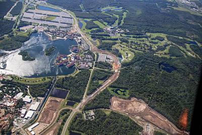
Aerial overview of the widening and rerouting of Floridian Way. In the West Magic Kingdom resort area. Construction staging areas seen at bottom left for new attractions in Magic Kingdom. A new lake in development at right. Sand excavated for various WDW projects.
October 15, 2025 1:41 AM

Aerial photos of road construction near and within Polynesian Resort. Landscaping has started for the new resort entrance. Security booth in progress, as well as paving there. Also seen is widening of Floridian Way.

October 14, 2025 3:42 AM

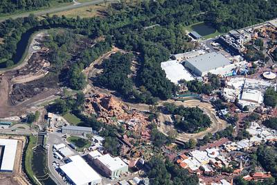
Aerial photos of construction staging areas in development West of Magic Kingdom. 📷Oct 12

October 14, 2025 3:38 AM

At center of this aerial photo of Magic Kingdom is work starting on Piston Peak National Park. At left is site of Villains land.

October 14, 2025 3:32 AM

Aerial photo of the development of Piston Peak National Park, with Adventureland at top of the photo. 📷Oct 12

October 14, 2025 3:24 AM

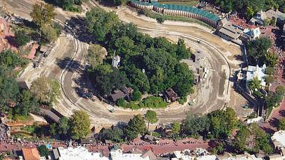
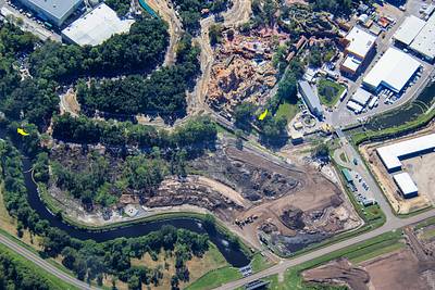
Aerial photos of former Rivers of America and Tom Sawyer Island. Will become Piston Peak National Park. 📷Oct 12

October 14, 2025 3:15 AM

Aerial photo of former Rivers of America and Tom Sawyer Island. Will become Piston Peak National Park. Guests seen along bottom of this photo are lined up for a cavalcade. 📷Oct 12

October 14, 2025 3:08 AM

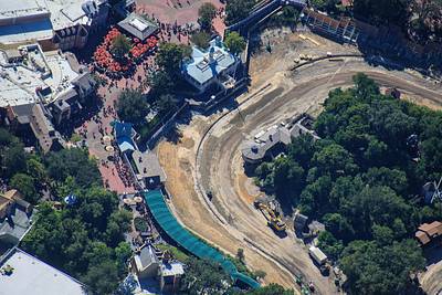
Aerial photos of former Rivers of America on the Liberty Square side of Tom Sawyer Island. Will become Piston Peak National Park. 📷Oct 12

October 14, 2025 3:00 AM

Aerial overview of where Piston Peak National Park will be developed in Magic Kingdom. A cavalcade can be seen in procession at left. Also guests lined up along the fence for Haunted Mansion. 📷Oct 12

October 14, 2025 2:35 AM

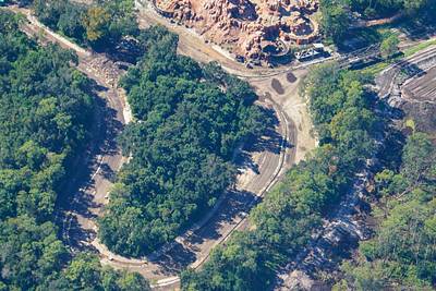
Aerial photos of the North island of former Rivers of America. Villains land is planned for this area.

October 14, 2025 2:24 AM

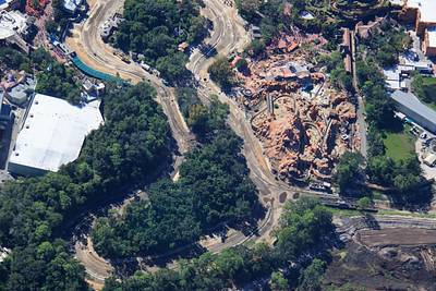
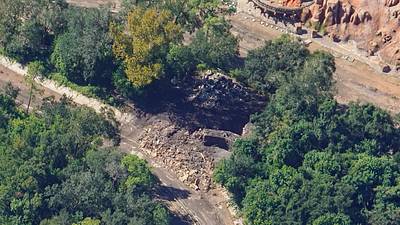
Aerial photos of land clearing related to the Villains Land planned for Magic Kingdom. 📷Oct 12

October 14, 2025 2:19 AM

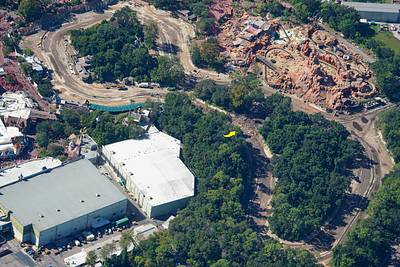
Aerial photo of land clearing related to the Villains Land planned for Magic Kingdom. Arrows at steam train route. Track removed between the arrows. 📷Oct 12

October 14, 2025 1:52 AM

Aerial overview of former Rivers of America. Arrow at recently started work at the North island. 📷Oct 12

October 14, 2025 1:36 AM

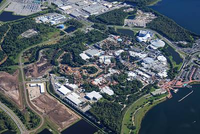
Aerial overview of Magic Kingdom from 3850 ft. Construction staging in development at left, and Rivers of America is drained. Liberty Belle riverboat is in the service marina near top center.

Older → ↩ Back to the newest