October 16, 2025
1:42 AM
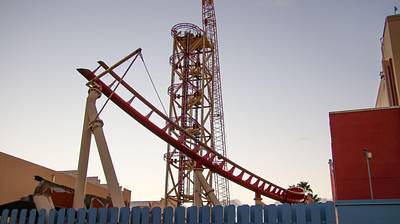
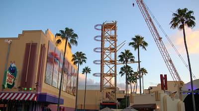
All of the track remaining in the demolition of Hollywood Rip Ride Rockit.
A permanent archive of @bioreconstruct’s aerial photos of construction around Walt Disney World and Universal Orlando — full-resolution originals, preserved daily. Every post links back to its source.
All of the track remaining in the demolition of Hollywood Rip Ride Rockit.
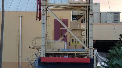
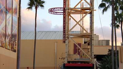
Current views of the remainder of the Hollywood Rip Ride Rockit tower.
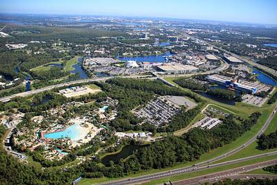
Aerial photo of Typhoon Lagoon and the Disney Springs area.
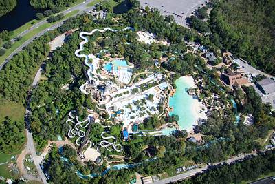
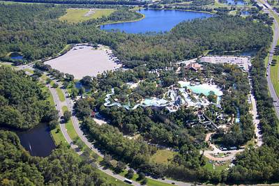
Aerial photos of Blizzard Beach. Currently closed for the season. 📷Oct 12
Aerial photo of Contemporary Resort. 📷Oct 12
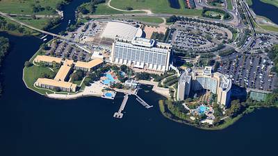
Aerial overview of the Magic Kingdom resort area. Consider how the site at left has opportunity to be an isolated forested resort like Wilderness Lodge (top center), and it is steps away from Magic Kingdom.
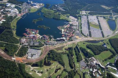
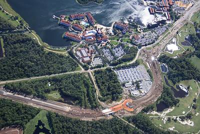
Aerial overview of the widening and rerouting of Floridian Way. In the West Magic Kingdom resort area. Construction staging areas seen at bottom left for new attractions in Magic Kingdom. A new lake in development at right. Sand excavated for various WDW projects.
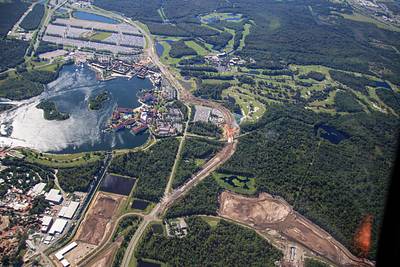
Aerial photos of the first of a few roundabouts in the widening and rerouting of Floridian Way. Near Grand Floridian and Polynesian resorts.
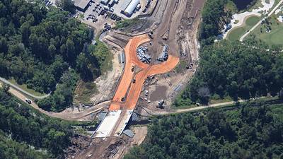
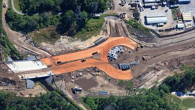
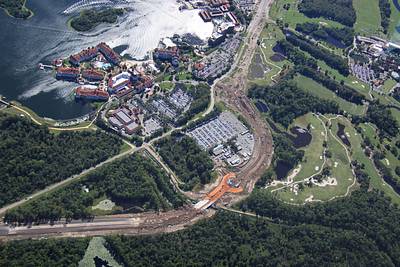
Aerial overview of the rerouting of Floridian Way near Grand Floridian resort. A roundabout is in development at bottom center.
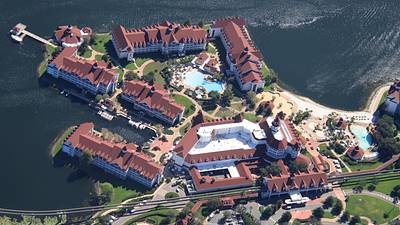
Aerial photo of Grand Floridian Resort.
Aerial photos of road construction near and within Polynesian Resort. Landscaping has started for the new resort entrance. Security booth in progress, as well as paving there. Also seen is widening of Floridian Way.
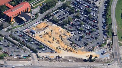
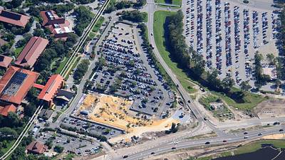
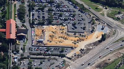
Aerial photo of Polynesian Resort. Landscaping has started at the new entrance road, through what is now a sandy area in resort parking. Widening of Floridian Way in progress in foreground. 📷Oct 12
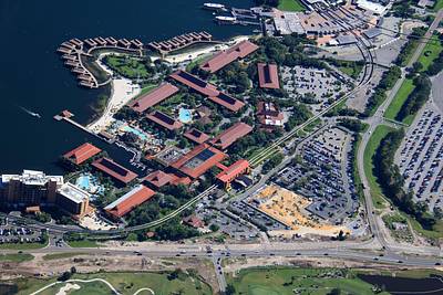
Aerial overview of Magic Kingdom parking. The lake at right is site of the former Walt Disney World Speedway Sand was excavated and staged in the center of parking. Over many years, this sand was used for the widening of Floridian Way. The road in foreground.
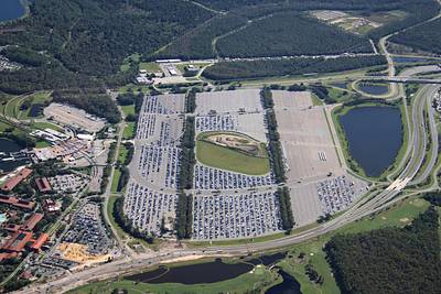
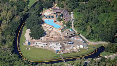
Aerial photo the entrance area of Ft Wilderness. 📷Oct 12
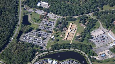
Aerial photo (from 3850 ft) of pool expansion in Ft Wilderness. 📷Oct 12