October 15, 2025
1:07 AM
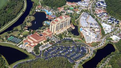
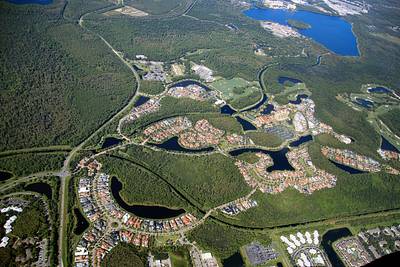
Aerial photos of Four Seasons Resort Orlando at Walt Disney World, and homes in the community of Golden Oak. 📷Oct 12
A permanent archive of @bioreconstruct’s aerial photos of construction around Walt Disney World and Universal Orlando — full-resolution originals, preserved daily. Every post links back to its source.
Aerial photos of Four Seasons Resort Orlando at Walt Disney World, and homes in the community of Golden Oak. 📷Oct 12
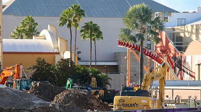
All that remains in the demolition of Hollywood Rip Ride Rockit.
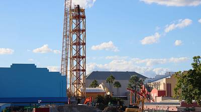
Photos showing a pink covering that has been wrapped around the chain run of the Hollywood Rip Ride Rockit tower. Arrows in first photo at the chain up and the return down. Chain run caught fire last Friday.
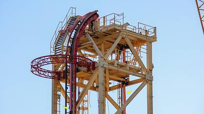
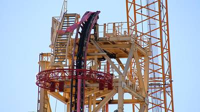
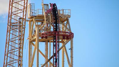
Remaining track of Hollywood Rip Ride Rockit that ran alongside the station and out to CityWalk.
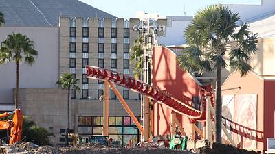
Elevator shaft demolished today at site of the former Hollywood Rip Ride Rockit station. Was previously seen at center in this viewpoint.
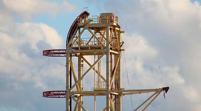
Demolition today at the top of Hollywood Rip Ride Rockit. Compare to prior photo in this Thread.
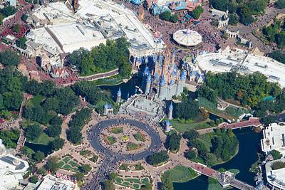
Aerial photo of the Magic Kingdom hub and Cinderella Castle.
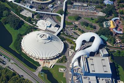
Aerial photo of Space Mountain and Tron. 📷Oct 12
Aerial overview of Adventureland. 📷Oct 12
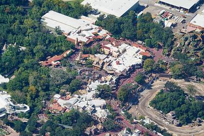
Aerial photos of construction staging areas in development West of Magic Kingdom. 📷Oct 12
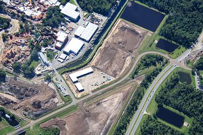
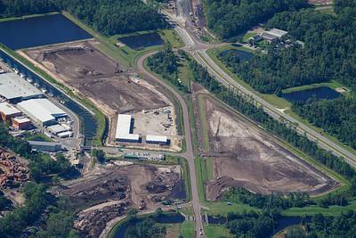
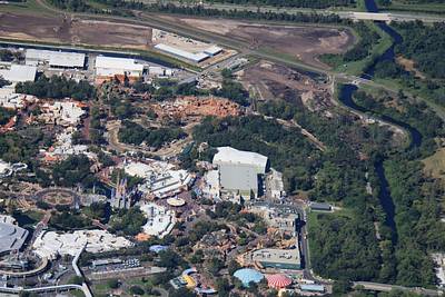
At center of this aerial photo of Magic Kingdom is work starting on Piston Peak National Park. At left is site of Villains land.
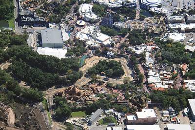
Aerial photo of the development of Piston Peak National Park, with Adventureland at top of the photo. 📷Oct 12
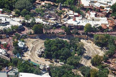
Aerial photo of the development of Piston Peak National Park next to Tiana's Bayou Adventure and Big Thunder Mountain Railroad. 📷Oct 12
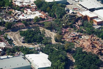
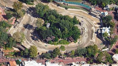
Aerial photos of former Rivers of America and Tom Sawyer Island. Will become Piston Peak National Park. 📷Oct 12
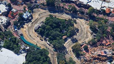
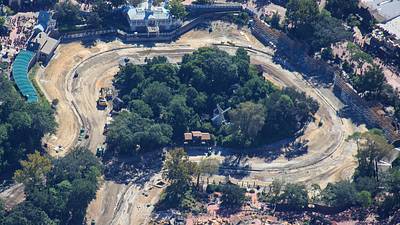
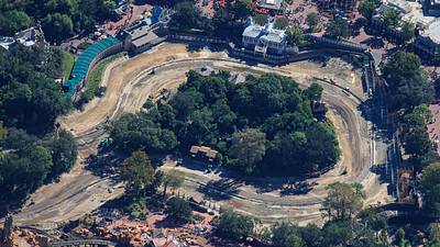
Aerial photo of former Rivers of America and Tom Sawyer Island. Will become Piston Peak National Park. Guests seen along bottom of this photo are lined up for a cavalcade. 📷Oct 12