October 14, 2025
3:24 AM
Aerial photos of former Rivers of America and Tom Sawyer Island. Will become Piston Peak National Park. 📷Oct 12


A permanent archive of @bioreconstruct’s aerial photos of construction around Walt Disney World and Universal Orlando — full-resolution originals, preserved daily. Every post links back to its source.
Aerial photos of former Rivers of America and Tom Sawyer Island. Will become Piston Peak National Park. 📷Oct 12
Aerial photo of former Rivers of America and Tom Sawyer Island. Will become Piston Peak National Park. Guests seen along bottom of this photo are lined up for a cavalcade. 📷Oct 12
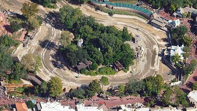
Aerial photos of former Rivers of America on the Liberty Square side of Tom Sawyer Island. Will become Piston Peak National Park. 📷Oct 12

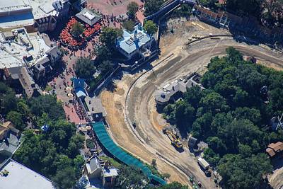
Aerial overview of where Piston Peak National Park will be developed in Magic Kingdom. A cavalcade can be seen in procession at left. Also guests lined up along the fence for Haunted Mansion. 📷Oct 12

Aerial photos of the North island of former Rivers of America. Villains land is planned for this area.
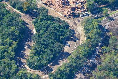
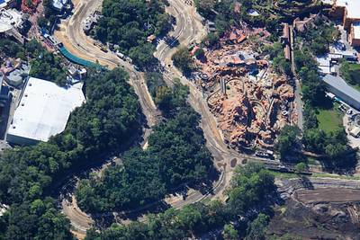
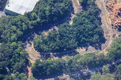
Aerial photo of a drained canal near Big Thunder Mountain. The Liberty Belle riverboat would travel through this canal and the locks seen at upper right. Connects to Seven Seas lagoon. Arrows where dirt has been piled to shore up a gate, and what may be start of a retaining wall.

Aerial photos of land clearing related to the Villains Land planned for Magic Kingdom. 📷Oct 12
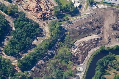
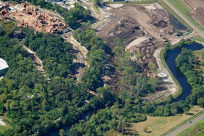
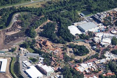
Aerial photo of land clearing related to the Villains Land planned for Magic Kingdom. Arrows at steam train route. Track removed between the arrows. 📷Oct 12
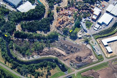
Aerial overview of the former Rivers of America. Arrow at the demolition of Fort Langhorne. 📷Oct 12
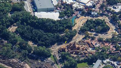
Aerial photo of the demolition of Fort Langhorne. On the North island of former Rivers of America. 📷Oct 12
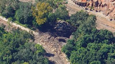
At center of this aerial photo is the demolition of Fort Langhorne. On the North island of former Rivers of America. 📷Oct 12
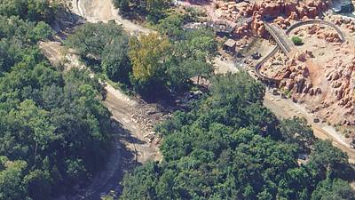
Aerial overview of former Rivers of America. Arrow at recently started work at the North island. 📷Oct 12
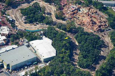
Aerial overview of work at former Rivers of America. 📷Oct 12

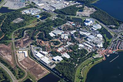
Aerial overview of Magic Kingdom from 3850 ft. Arrow at fireworks staging, directly in line with Main Street USA and Cinderella Castle.
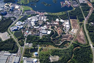
Aerial overview of Magic Kingdom from 3850 ft. Construction staging in development at left, and Rivers of America is drained. Liberty Belle riverboat is in the service marina near top center.