October 8, 2025
12:05 AM
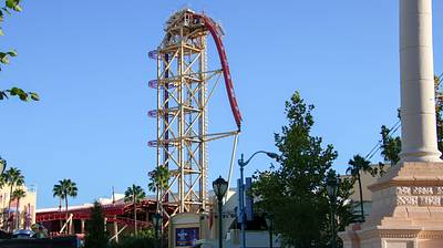
Demolition of Hollywood Rip Ride Rockit today, Tue Oct 7.
A permanent archive of @bioreconstruct’s aerial photos of construction around Walt Disney World and Universal Orlando — full-resolution originals, preserved daily. Every post links back to its source.
Demolition of Hollywood Rip Ride Rockit today, Tue Oct 7.
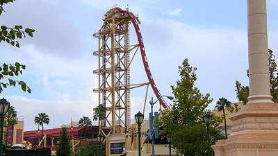
Start of a Thread with the demolition of the Hollywood Rip Ride Rockit lift tower seen on Sun Oct 5.
A demolition shear staged to remove the Hollywood Rip Ride Rockit station roof and supports.
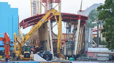
A demolition shear with an extended reach arrived today at the former Hollywood Rip Ride Rockit site. To remove the former station roof and supports.
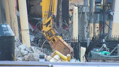
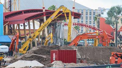
Track cut at bottom of the lift at Hollywood Rip Ride Rockit.
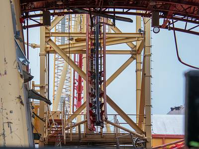
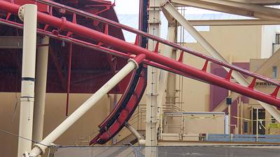
*Boop* Likely the last day that this crane is in reach of Optimus Prime. Crane likely moves to demolish the Hollywood Rip Ride Rockit tower tomorrow.

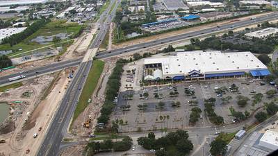
Aerial photo of Sand Lake Rd and Florida Turnpike widening projects, near a Lowe's Home Improvement.
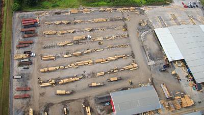
Aerial photo of wood roof trusses staged at BFS Multi-Family Services. Short distance away from SR 528 Beachline.
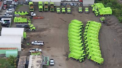
Aerial photo of trucks staged at GFL Environmental Orlando Hauling. Near SR 528 Beachline.
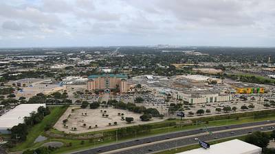
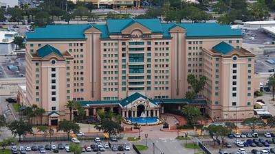
Aerial photos of Florida Mall. Downtown Orlando skyscrapers are on the horizon in the first photo.
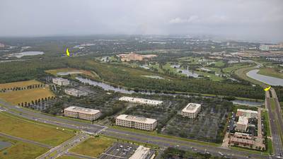
Arrows in this aerial photo bookend land owned by Universal along Shingle Creek. Between the SR 528 Beachline (at left) and Destination Pwy.
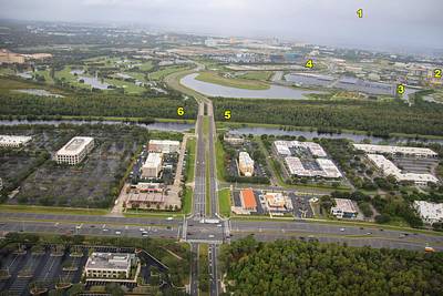
In this aerial photo of Destination Pwy and John Young Pwy: 1 Wall of rain 2 Helios Grand Hotel 3 Epic Universe parking 4 Stella Nova/Terra Luna 5 Single Creek Trail (Sand Lake Rd out of frame at right) 6 Universal property along Shingle Creek.
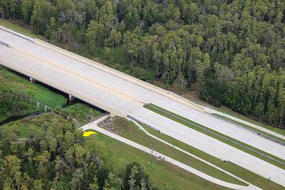
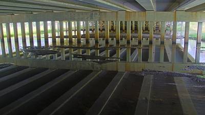
Aerial photo today of Sand Lake Rd at Shingle Creek. Arrow at a paved trail that runs parallel to the East property line of Epic Universe. Shingle Creek trail. Land at top of this photo is owned by Universal. 2nd photo is a Mar 24, 2024 photo under the bridge.
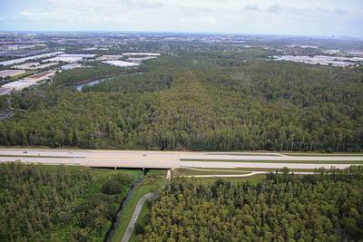
Aerial photo of Universal property north of Sand Lake Rd. Shingle Creek passes through it ... headwaters of the Florida Everglades.
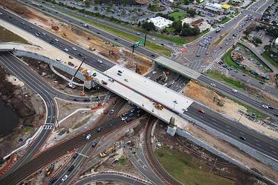
Aerial overview of current construction of a new I-4 interchange with Sand Lake Rd.