October 5, 2025
1:42 AM
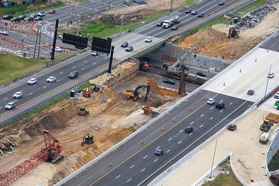
Arrows in this aerial photo where curved walls are in development to complement decorative towers. At the Sand Lake Rd interchange with I-4.
A permanent archive of @bioreconstruct’s aerial photos of construction around Walt Disney World and Universal Orlando — full-resolution originals, preserved daily. Every post links back to its source.
Arrows in this aerial photo where curved walls are in development to complement decorative towers. At the Sand Lake Rd interchange with I-4.
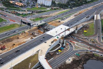
Arrow in this aerial photo where EB lanes of I-4 were recently shifted. At the redo of the Sand Lake Rd interchange.
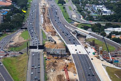
Aerial photo of excavation to widen Sand Lake Rd at I-4.
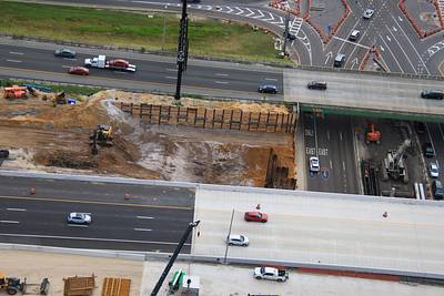
Aerial photo of excavation to widen Sand Lake Rd at I-4. WB lanes recently shifted to a new wider overpass at right. Similar overpass to be built at the excavation.
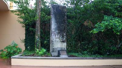
The roller coaster work site next to Hard Rock Orlando is large. However, guests can still see the Berlin Wall section that is on display. Just walk along the building.
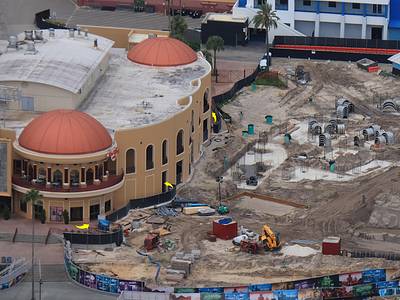
Aerial photos of expansion pads at Epic Universe.
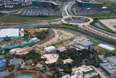
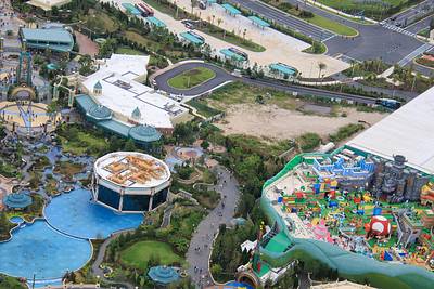
Running diagonally through this aerial photo is construction of a go-away-green property line fence at Epic Universe.
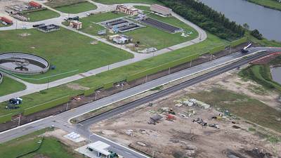
Aerial photo of Stardust Racers testing this morning. Arrow at a walkway barricade.
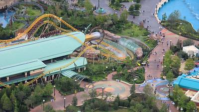
Aerial photo of Stardust Racers testing this morning.
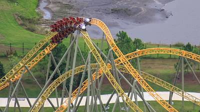
Aerial photos of The Lost Continent. Changes will be starting soon.
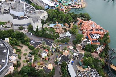
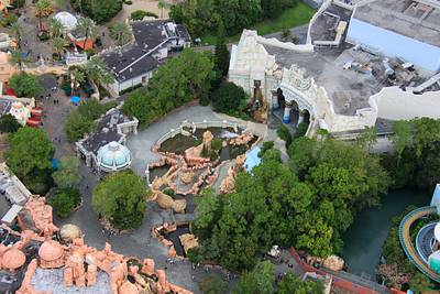
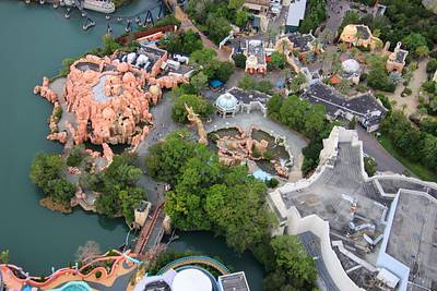
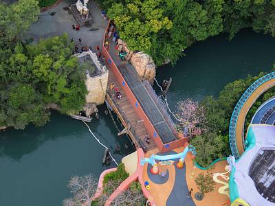
Aerial photo of bridge replacement between The Lost Continent and Seuss Landing.
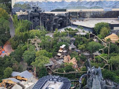
Aerial photo looking across Islands of Adventure. From VelociCoaster to Skull Island: Reign of Kong.
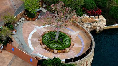
Aerial photo of pavement replacement at the front of Islands of Adventure.
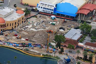
Aerial photo of Universal Studios Florida entrance areas relative to a roller coaster site.
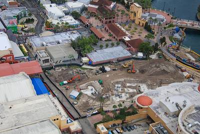
Aerial photo of where a roller coaster is being added to Universal Studios Florida near CityWalk.