September 22, 2025
12:50 AM
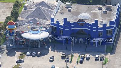
Aerial photo of Bargain Planet, and Arcade Time (open 24-hours, 7 days a week). On I-Drive.
A permanent archive of @bioreconstruct’s aerial photos of construction around Walt Disney World and Universal Orlando — full-resolution originals, preserved daily. Every post links back to its source.
Aerial photo of Bargain Planet, and Arcade Time (open 24-hours, 7 days a week). On I-Drive.
Sep 20 aerial photos of ramp construction for Turkey Lake Rd SB. Will replace a left turn from Sand Lake Rd WB.
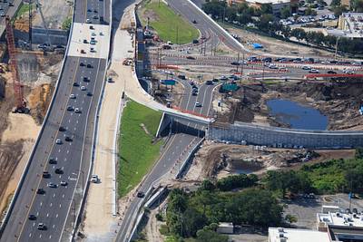
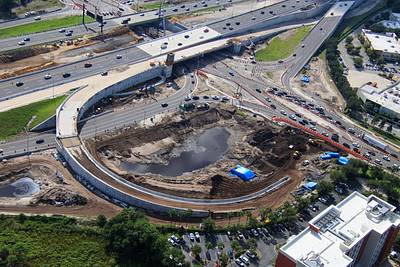
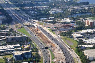
Sep 20 aerial photo of the current routing of I-4 at Sand Lake road.
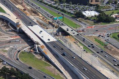
Aerial photos of the current Diverging Diamond lanes at Sand Lake Rd and I-4. Current routing of a sidewalk through the project also seen at left. Opposite side currently closed.
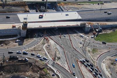
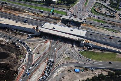
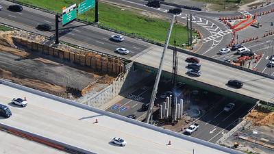
Sep 20 aerial photos of pile driving for a new overpass at Sand Lake Rd and I-4. EB lanes will temporarily shift to this overpass while a new EB overpass is constructed. When the project concludes the median lanes will be tolled Express lanes.
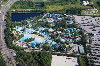
Aerial overview of Aquatica Orlando.
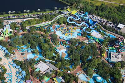
Aerial photo of Aquatica Orlando. Line for parking at top of the photo.
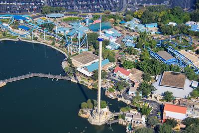
Aerial look at the SeaWorld Orlando Sky Tower.
Epic Universe is at top center of the photo in first Post of this Thread.
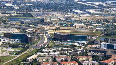
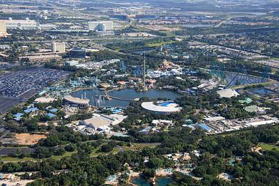
Sep 20 aerial photos of SeaWorld Orlando.
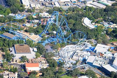
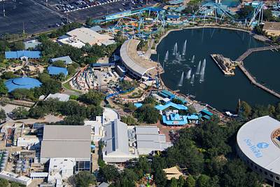
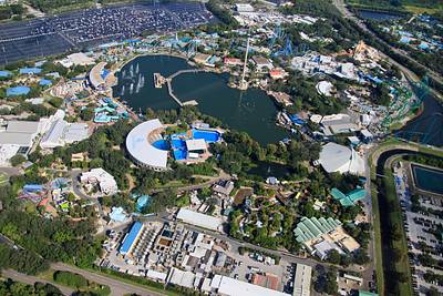
Sep 20 aerial photo of SeaWorld Orlando. Land clearing in bottom left might be for a recently announced attraction: SEAQuest: Legends of the Deep.
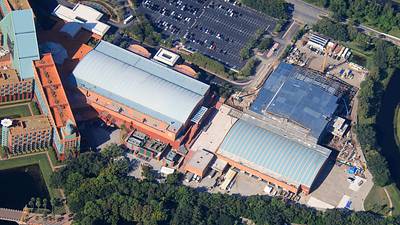
Aerial photo of the expansion of the Walt Disney World Dolphin meeting and events space.
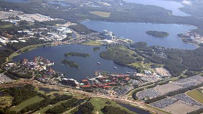
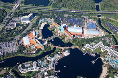
Aerial photo of EPCOT resorts.
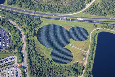
Aerial photo of solar Mickey.
Aerial photo of the Vacation Kingdom of the World.