September 21, 2025
4:10 PM
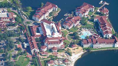
Aerial photo of Grand Floridian resort.
A permanent archive of @bioreconstruct’s aerial photos of construction around Walt Disney World and Universal Orlando — full-resolution originals, preserved daily. Every post links back to its source.
Aerial photo of Grand Floridian resort.
Aerial photo of where a roundabout will be in the new routing of Floridian Way. To access Grand Floridian resort and Disney Wedding Pavilion.


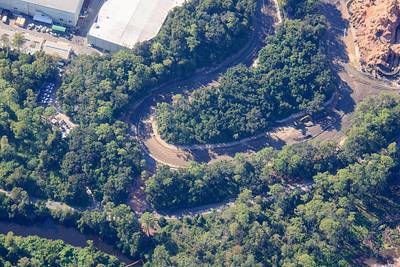
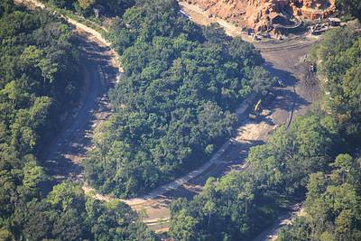
Aerial photo of construction of new routing for Floridian Way. Arrows where two roundabouts will be.
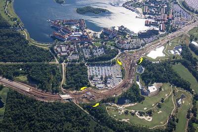
Aerial photo of construction of new routing for Floridian Way.
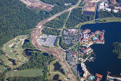
Aerial photos of roundabout construction in the new routing of Floridian Way. To be for access of The Grand Floridian resort. Look close to spot cell phone towers disguised as trees.


Aerial photos of pond construction West of Magic Kingdom. At center of each photo is work for a tunnel connecting the water bodies.

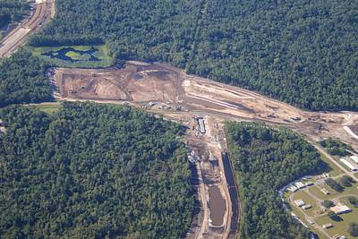
Aerial look at the Walt Disney World fireworks storage area.
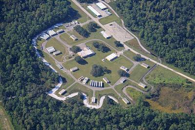
Aerial photos of cleared land West of Magic Kingdom. Construction project trailers were recently added.


Aerial photo from 3400 ft where Big Thunder Mountain Railroad looks like a scale model.
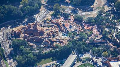
Aerial overview of construction staging areas being added West of Magic Kingdom.

Land clearing next to Magic Kingdom. Rivers of America area at top of this aerial photo to be Villains land.
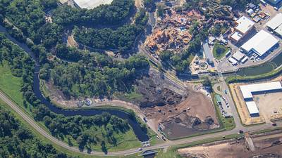
Aerial photos of what seems to be silt removal from the former Rivers of America. This section to become Villains land.
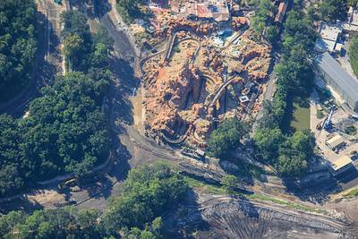
In this aerial photo: 1 Magic Kingdom steam train tracks removed. Possibly will be a re-routing around the Villains land. 2 Service bridge lowered for Big Thunder Mountain Railroad trains. The access between the attraction and the service building.

Aerial look at the rail spur that Magic Kingdom riverboats used for steering at the service canal to Seven Seas Lagoon. A service dock at right, at end of this spur.

Villains land to be developed in foreground of this aerial photo. Piston Peak to be developed at the former Rivers of America area at top left.
