September 21, 2025
12:57 AM
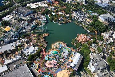
Aerial overview of Islands of Adventure.
A permanent archive of @bioreconstruct’s aerial photos of construction around Walt Disney World and Universal Orlando — full-resolution originals, preserved daily. Every post links back to its source.
Aerial overview of Islands of Adventure.
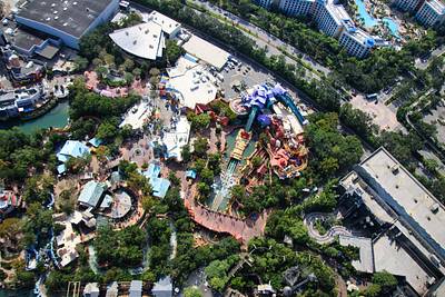
A nearly straight-down aerial photo of Toon Lagoon.
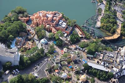
Aerial photos of The Lost Continent. Demolition and construction were recently announced.
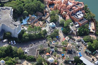
Aerial photo of a service road into The Lost Continent. Road leads directly to a guest access of VelociCoaster.
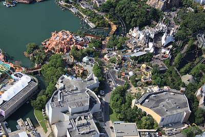
Aerial look at The Lost Continent near the theater.
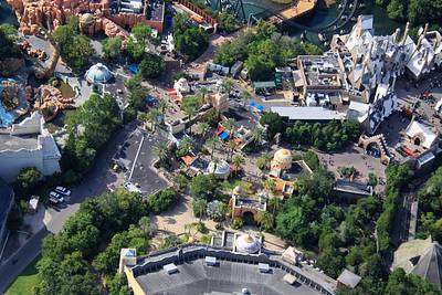
Aerial overview of The Lost Continent. Universal recently said that there will be demolition and construction here.
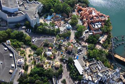
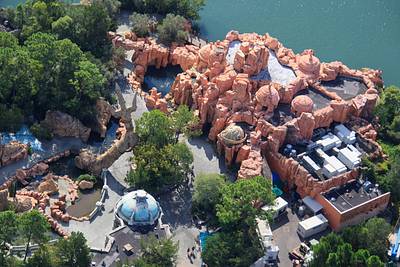
A nearly-straight down aerial photo of the trident and Mythos restaurant in The Lost Continent.
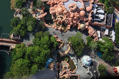
Aerial look at Lost Continent near Mythos restaurant.
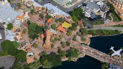
Aerial overview of Port of Entry and the entrance of Islands of Adventure.
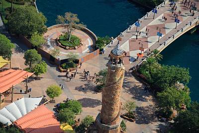
Aerial look at current status of a pavement redo at the entrance of CityWalk. Behind a construction fence. This circular area was originally planned as a location of stylized Universal globe.
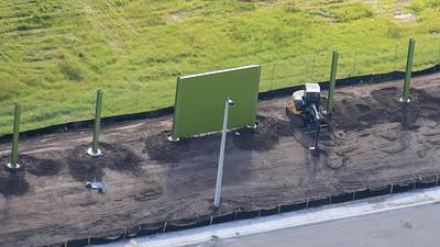
Aerial photos of construction of an Epic Universe property line fence.
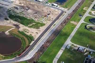
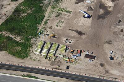
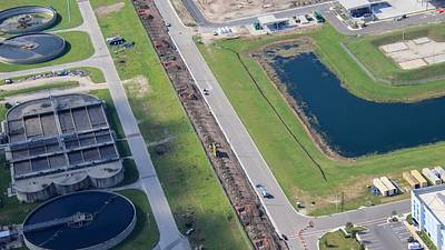
Aerial photos of the first panel of a property line fence in development at Epic Universe.
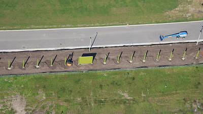
Aerial photo of an expansion pad of Epic Universe.
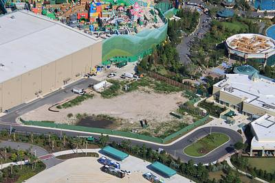
Aerial photo of the fireworks launch peninsula of Epic Universe.
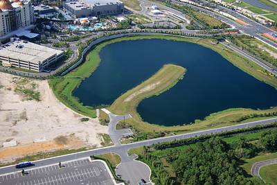
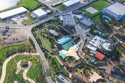
Aerial look at The Isle of Berk. Flying dragons are based out of the square of concrete in top right.