September 21, 2025
1:17 AM
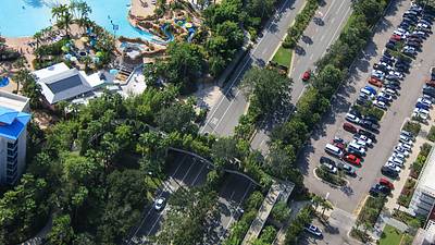
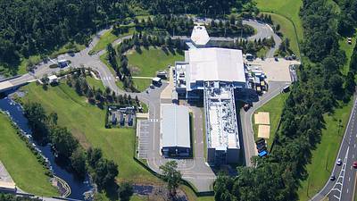
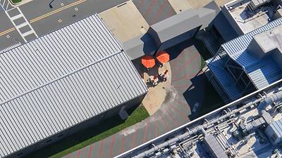
Aerial photos of the former Star Wars Galactic Starcruiser hotel. Second photo seems to have markings for underground utilities.
A permanent archive of @bioreconstruct’s aerial photos of construction around Walt Disney World and Universal Orlando — full-resolution originals, preserved daily. Every post links back to its source.
Aerial photos of the former Star Wars Galactic Starcruiser hotel. Second photo seems to have markings for underground utilities.
Aerial overview of Disney's Hollywood Studios. Development of a Monsters Inc roller coaster at left.

Aerial overview of Islands of Adventure.

A nearly straight-down aerial photo of Toon Lagoon.

Aerial photos of The Lost Continent. Demolition and construction were recently announced.


Aerial photo of a service road into The Lost Continent. Road leads directly to a guest access of VelociCoaster.
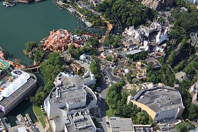
Aerial look at The Lost Continent near the theater.

Aerial overview of The Lost Continent. Universal recently said that there will be demolition and construction here.

A nearly-straight down aerial photo of the trident and Mythos restaurant in The Lost Continent.
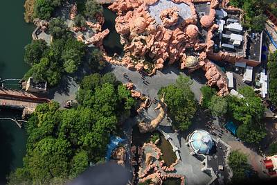
Aerial look at Lost Continent near Mythos restaurant.

Aerial overview of Port of Entry and the entrance of Islands of Adventure.

Aerial look at current status of a pavement redo at the entrance of CityWalk. Behind a construction fence. This circular area was originally planned as a location of stylized Universal globe.

Arrows in this aerial photo are at an access route of the #HHN soundstage houses.
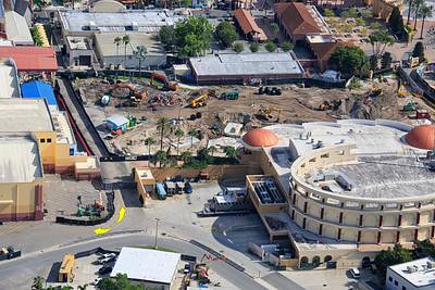
A nearly straight-down aerial photo of Hard Rock Cafe Orlando. Areas at top right are seen in one of the accesses of the #HHN soundstage houses.
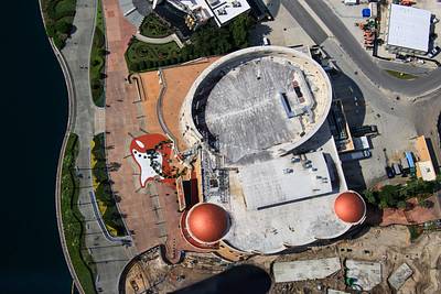
Aerial photo of a tree-lined City of Orlando pedestrian bridge across Adventure Way. Sapphire Falls at left. Cabana Bay Beach Resort at right.