August 17, 2025
2:44 AM
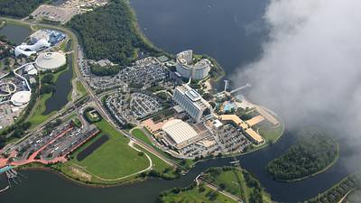
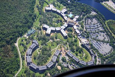
Aerial photo of Disney's Animal Kingdom Lodge and Villas.
A permanent archive of @bioreconstruct’s aerial photos of construction around Walt Disney World and Universal Orlando — full-resolution originals, preserved daily. Every post links back to its source.
Aerial photo of Disney's Animal Kingdom Lodge and Villas.
Atlantic restaurant and Constellation Carousel during overnight maintenance. 3am photo from Helios Grand Hotel.

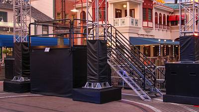
Staging so far for #HHN Club Horror dance party.


Aerial look at the Disney Skyliner near Caribbean Beach, Pop Century, and Art of Animation resorts.
The yellow line in this aerial photo is the boundary of the TFR (Temporary Flight Restriction) or no-fly area at Walt Disney World. An approximately 3-mile radius centered South of Contemporary resort. Really, a cylinder from ground level to 3000 feet. This photo at 3100 feet.
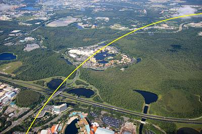
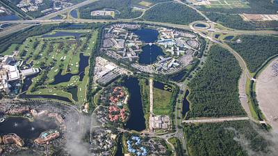
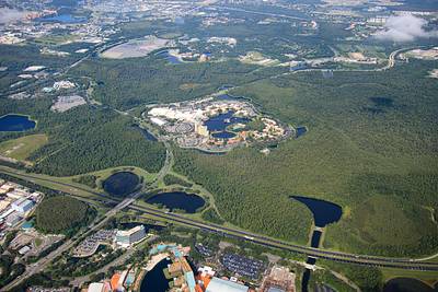
At center of this aerial photo is Coronado Springs Resort.
Aerial overview of Fort Wilderness and Disney's Lakeshore Lodge from 3100 feet.

Aerial photo of the forest near construction of Disney's Lakeshore Lodge.
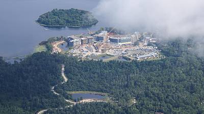
At top left in this aerial photo is boat dock construction at Disney's Lakeshore Lodge.
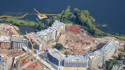
Seems like pool construction has started at Disney's Lakeshore Lodge. Aerial photo Aug 2.
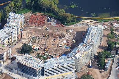
Aerial overview of construction of Disney's Lakeshore Lodge.
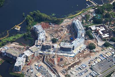
Aerial photo of construction of Disney's Lakeshore Lodge.

Aerial look at construction of Disney's Lakeshore Lodge.
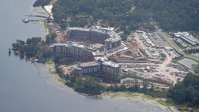
Aerial photo of Wilderness Lodge.

Aerial photo of Contemporary Resort.