August 3, 2025
3:41 PM
Waymo parked more or less next to Hagrid's Magical Creatures Motorbike Adventure. Waymo cars have been spotted regularly in the Universal Orlando and Sand Lake Rd area.

A permanent archive of @bioreconstruct’s aerial photos of construction around Walt Disney World and Universal Orlando — full-resolution originals, preserved daily. Every post links back to its source.
Waymo parked more or less next to Hagrid's Magical Creatures Motorbike Adventure. Waymo cars have been spotted regularly in the Universal Orlando and Sand Lake Rd area.
A tall green fence behind Hagrid's Magical Creatures Motorbike Adventure. Borders Turkey Lake Rd, along Islands of Adventure. A bypass road is seen in first Post of this Thread. To be used when a similar fence is built along the Epic Universe perimeter road.

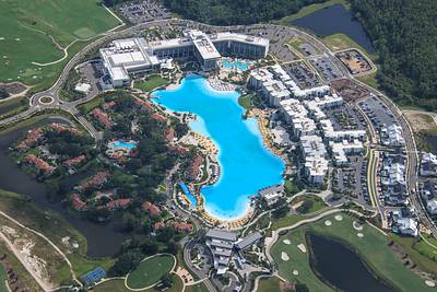
Aerial overview of Evermore resort.
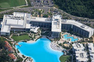
Aerial photo of Conrad Orlando at Evermore resort.
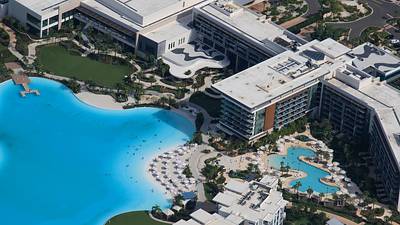
Aerial photo of the beach and pool in Conrad Orlando at Evermore resort.
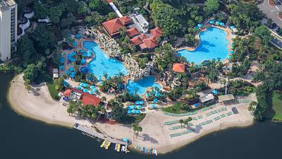
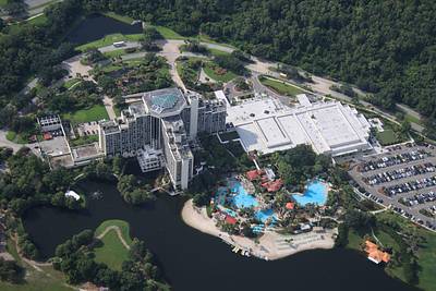
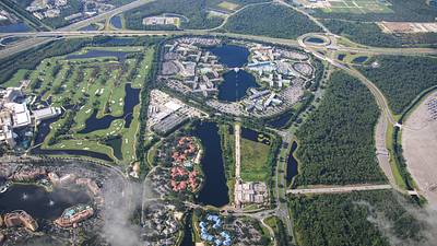
Aerial photos of Hyatt Grand Cypress resort.
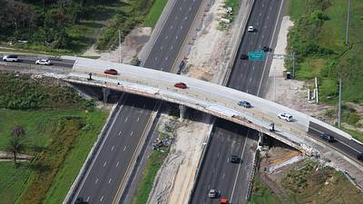
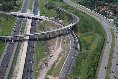
Aerial photos of current work widening the I-4 WB ramp to SR 528 Beachline EB.
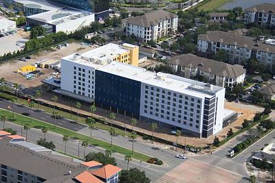
Aerial photo of the upcoming EVEN Staybridge Suites dual-branded hotel. Next to Stella Nova resort.
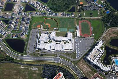
Aerial overview of Lake Buena Vista High School.
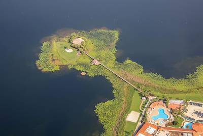
Aerial photo of Sunset Key Island in Westgate Lakes.
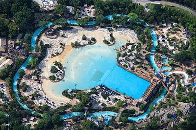
Aerial photo of Typhoon Lagoon, with guests at left queued to enter.
Aerial look at the Disney Skyliner near Caribbean Beach, Pop Century, and Art of Animation resorts.
The yellow line in this aerial photo is the boundary of the TFR (Temporary Flight Restriction) or no-fly area at Walt Disney World. An approximately 3-mile radius centered South of Contemporary resort. Really, a cylinder from ground level to 3000 feet. This photo at 3100 feet.
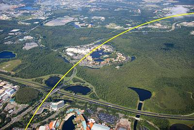
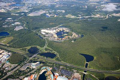
At center of this aerial photo is Coronado Springs Resort.
Aerial overview of Fort Wilderness and Disney's Lakeshore Lodge from 3100 feet.
