August 3, 2025
1:01 AM
Aerial photo of Seven Seas Lagoon and the Magic Kingdom resorts.

A permanent archive of @bioreconstruct’s aerial photos of construction around Walt Disney World and Universal Orlando — full-resolution originals, preserved daily. Every post links back to its source.
Aerial photo of Seven Seas Lagoon and the Magic Kingdom resorts.
Aerial photo, looking South, of the Magic Kingdom resort area. Widening of Floridian Way at right.
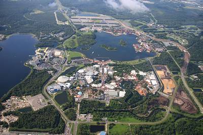
Aerial photos of construction West of Magic Kingdom.


Aerial photo from 3100 feet of a new water management area West of Magic Kingdom. At bottom is fireworks storage for Walt Disney World.
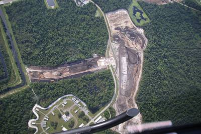
Aerial photos of the development of construction staging areas West of Magic Kingdom.


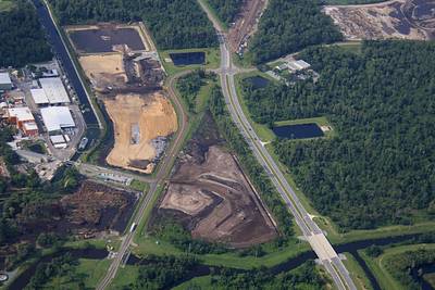
Aerial photo of sand being placed for what will be a construction staging area West of Magic Kingdom. Trees have been cut at left for an additional staging area.

Aerial photo of a recently built retention pond West of Magic Kingdom. Area at right is part of what will be a construction staging area.
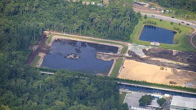
Aerial photo of construction West of Magic Kingdom. • New water management area at top. • Floridian Way widening. • Staging areas in development to support projects at former Rivers of America.
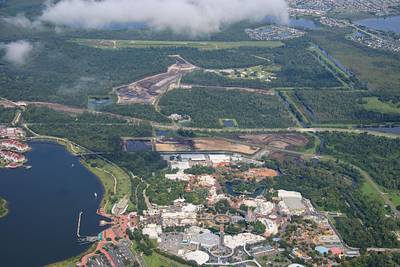
Aerial look at Fantasyland.

Aerial overview of Fantasyland and Liberty Square.

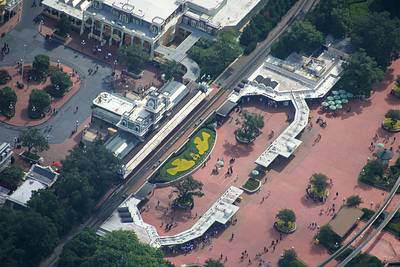
Aerial photo of the Magic Kingdom entrance.
Aerial photo at 3100 feet, above clouds over Disney Springs.
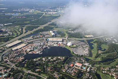
Aerial photo of Disney Springs.
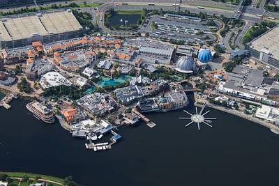
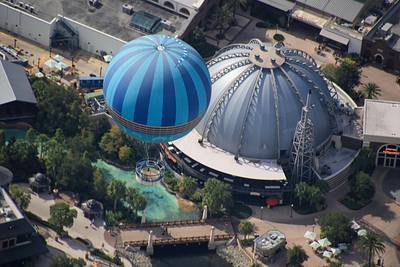
Aerial photo of Aerophile above Planet Hollywood in Disney Springs.
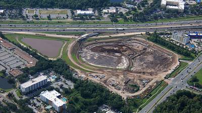
Aerial overview of new I-4 ramps near a retention pond. Part of the redo of the SR 535 Apopka-Vineland Rd interchange This site was originally the CrossRoads shopping plaza. Developed by Walt Disney World, later sold. Eventually bought by the state to improve the interchange.