May 22, 2025
1:55 AM
Aerial look at some of the waterslides in Volcano Bay.

A permanent archive of @bioreconstruct’s aerial photos of construction around Walt Disney World and Universal Orlando — full-resolution originals, preserved daily. Every post links back to its source.
Aerial look at some of the waterslides in Volcano Bay.
Aerial overview of Volcano Bay.

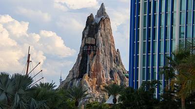
Aerial photo of the top of Krakatau in Volcano Bay.

Aerial photo of the top of Krakatau in Volcano Bay.

Aerial photo of Krakatau in Volcano Bay.

Aerial photo of Krakatau in Volcano Bay.

Apr 4 aerial look at the redo of the Sand Lake Rd interchange with I-4. Volcano Bay at top center.

At top of the mountain in this aerial photo is Gothi's Hut. She is also standing in front of the hut, on the platform. Splash effects can be seen below in the Fyre Drill boat ride.
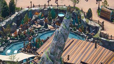
Krakatau on Volcano Bay's opening day. May 25, 2017.
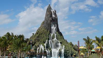
A look at repainting in underway at Krakatau in Volcano Bay. A section at time is getting dark hues to restore a richer volcanic rock appearance.


Krakatau in Volcano Bay is being repainted, to restore the appearance of dark volcanic rock. An area at a time. It was painted in layers of different hues. Planned so that as the dark layers on top weathered away it still had a natural look from varying shades underneath.