May 10, 2025
9:57 AM
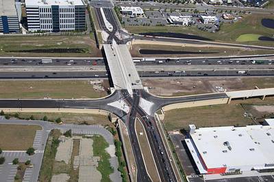
Aerial photo of the nearly complete Daryl Carter Pwy diverging diamond interchange with I-4.
A permanent archive of @bioreconstruct’s aerial photos of construction around Walt Disney World and Universal Orlando — full-resolution originals, preserved daily. Every post links back to its source.
Aerial photo of the nearly complete Daryl Carter Pwy diverging diamond interchange with I-4.
Aerial photos of the I-4 interchange with Central Florida Pwy (the SeaWorld Orlando interchange).

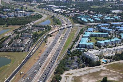
Aerial photos of current work at the SR 538 Beachline interchange with I-4. The ramp from I-4 WB to SR 538 is being widened to two lanes.

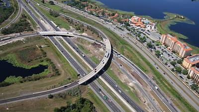
Traffic in the I-4 WB ramp to SR 528 Beachline EB recently shifted to the recently added lane at the overpass. This aerial photo also shows the barrier along the original lane was recently demolished. The ramp will be two lanes when complete.
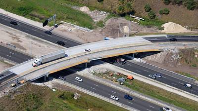
Aerial photo of the redo of the Sand Lake Rd interchange with I-4. I-4 WB Diverging diamond exit will soon shift. Eventually the left turn from Sand Lake WB to Turkey Lake SB becomes cloverleaf style ramp, merging with an I-4 WB ramp for Turkey Lake SB.

Aerial photo of current work in the redo of the Sand Lake Rd interchange with I-4.

Aerial photo of Blizzard Beach. Currently closed, reopens May 21.

Popcorn ducks in training.

Aerial overview of Epic Universe. May 9, 2025 • 13 days to grand opening • Solar covered parking almost done • Tent for private events has park access with colorful pavement • Utilities in the fireworks peninsula • Concrete factory demolished
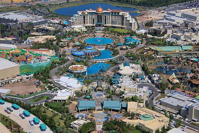
Aerial overview of Epic Universe with expansion pads in view.
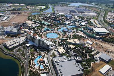
Aerial overview of Epic Universe.
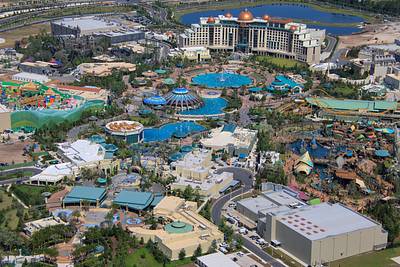
Aerial overview of Epic Universe. With a perspective that is similar to some of the early concept art.
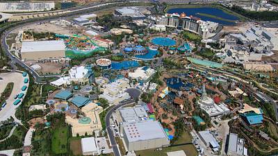
Aerial overview of Epic Universe.
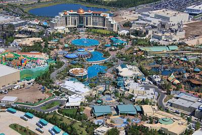
Aerial overview of Epic Universe.
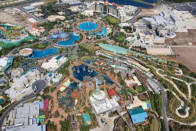
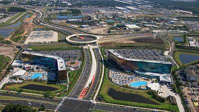
Aerial photo of Terra Luna and Stella Nova resorts, together with Epic Universe.