March 11, 2025
12:17 AM
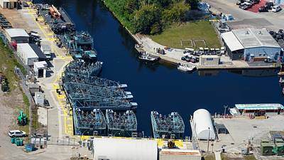
Aerial look at staging of the Luminous show barges in the EPCOT backstage marina.
A permanent archive of @bioreconstruct’s aerial photos of construction around Walt Disney World and Universal Orlando — full-resolution originals, preserved daily. Every post links back to its source.
Aerial look at staging of the Luminous show barges in the EPCOT backstage marina.
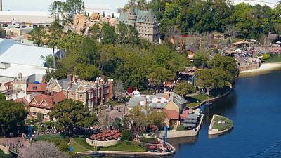
Among the details to spot in this Mar 5 aerial photo: • Clock in the UK pavilion. • Waterfall, floral flag, and benches for show viewing in the Canada pavilion.
Mar 7 aerial photo of part of displays for the annual EPCOT Flower and Garden Festival. Also a mirror glass reflection of the sky.
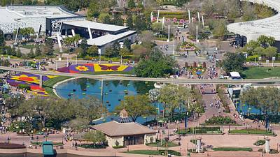
Mar 7 aerial photo of part of EPCOT, with displays for the annual Flower and Garden Festival.
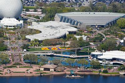
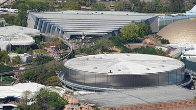
Mar 7 aerial photo of Guardians of the Galaxy and Test Track. At right is also refurbishment of the sphere at Mission: SPACE, and base of the former sign at Wonders of Life.
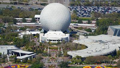
Mar 7 aerial photo of Spaceship Earth.
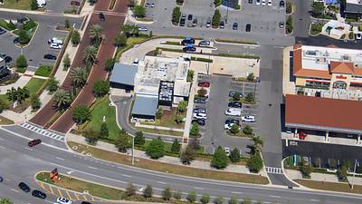
Mar 7 aerial photo of the World's Largest White Castle restaurant. North of Lake Buena Vista. Another Orlando area White Castle was announced for the Epic Universe area.
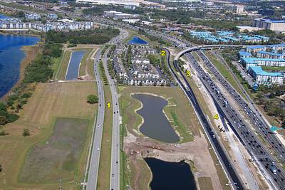
In this aerial photo of I-4 in the attractions area 1 Palm Pwy 2 Recently changed ramp of Central FL Pwy EB to I-4 WB 3 Recently changed ramp for Sea World exiting traffic to the Disney area. Also CFL Pwy WB to I-4 WB. 4 Upcoming I-4 WB ramp to Daryl Carter Pwy. A crossover flow.
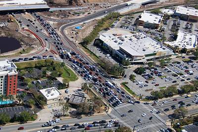
Aerial look at Diverging Diamond traffic at I-4, Sand Lake Rd, Turkey Lake Rd.
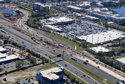
Arrow in this aerial photo at an upcoming shift in the exit ramp from I-4 WB to Sand Lake Rd.
Aerial look at the redo of the Sand Lake Rd interchange with I-4. At right is the current I-4 WB to Sand Lake ramp, running parallel to an upcoming lane shift. Eventually the ramp will divide for a new overpass to Turkey Lake SB, and a route to a new Diverging Diamond location.
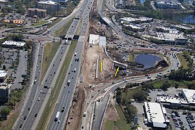
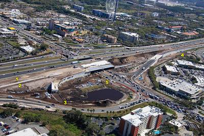
Mar 7 aerial photo of the redo of the Sand Lake Rd interchange with I-4. 1 New I-4 WB I-4 lanes 2 Exit I-4 WB to Turkey Lake SB (and NB to Whole Foods) 3 Ramp replacing Sand Lake Rd left turn to Turkey Lake SB 4 Turkey Lake intersection 5 New diverging diamond for Sand Lake
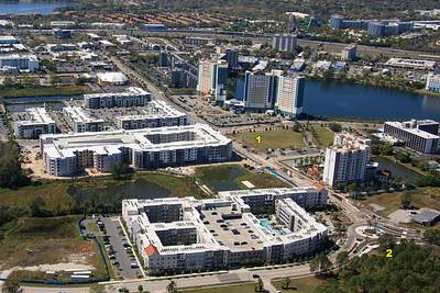
Aerial look at Universal Blvd road closures South of Surfside and Dockside resorts. 1 Seems like Universal Blvd has been remade at the intersection with Carrier Drive 2 New Carrier Drive traffic circle seems complete. Some Universal buses to Epic Universe may route here.
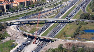
Feb 7 aerial overview of work to change the I-4 WB ramp to the SR 528 Beachline EB from one lane to two lanes.
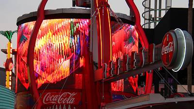
Ride - Peace Sign (Official Visualiser) music video seems like a recent addition to the CityWalk play list. At the Coca-Cola snack stand.