January 1, 2025
8:27 PM
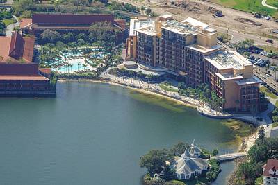
Aerial photo of the recently opened Island Tower in Polynesian Resort.
A permanent archive of @bioreconstruct’s aerial photos of construction around Walt Disney World and Universal Orlando — full-resolution originals, preserved daily. Every post links back to its source.
Aerial photo of the recently opened Island Tower in Polynesian Resort.
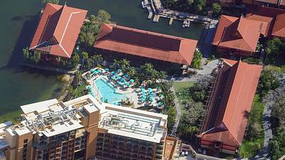
Aerial look at the new pool at Polynesian Resort. Also, current state of two roofs damaged by Hurricane Milton.
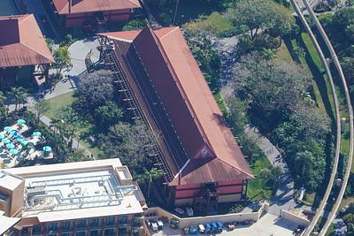
Aerial look at current state of a Polynesian Resort roof damaged by Hurricane Milton.
Aerial photo of Polynesian Resort.
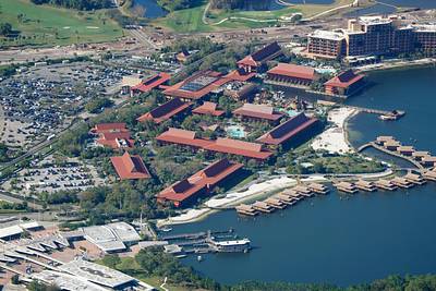
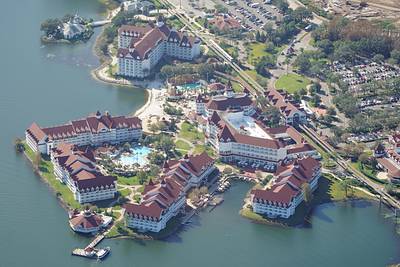
Aerial photo of Grand Floridian.
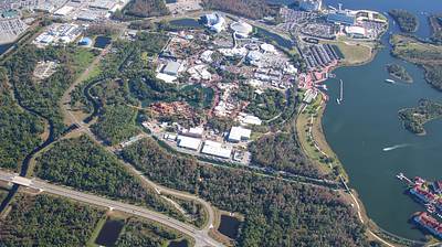
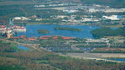
Aerial photo of the Magic Kingdom resort area. As seen from South of Animal Kingdom.
Aerial photo of Tomorrowland.
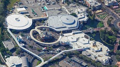
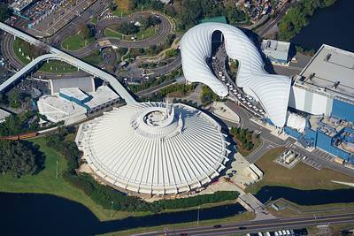
Aerial photo of Space Mountain and Tron.
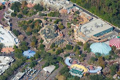
Aerial photo of part of Fantasyland in Magic Kingdom.
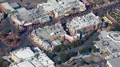
Aerial photo of the Main St bypass in Magic Kingdom.
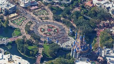
Aerial photo of the castle hub in Magic Kingdom.
Aerial photo of the North part of Tom Sawyer Island in Rivers of America.
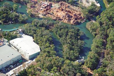
Aerial photo of Tom Sawyer Island in Rivers of America.
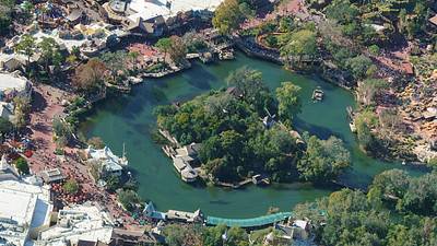
Aerial photo of the Rivers of America area.
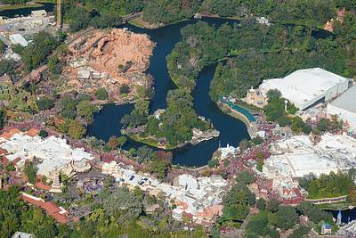
Aerial photo of forests West of Magic Kingdom. There are plans to clear some of this forest for construction staging areas.