October 17, 2024
12:56 AM
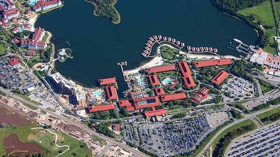
Aerial overview of Polynesian Resort.
A permanent archive of @bioreconstruct’s aerial photos of construction around Walt Disney World and Universal Orlando — full-resolution originals, preserved daily. Every post links back to its source.
Aerial overview of Polynesian Resort.
Aerial photo of the West longhouses of Polynesian Resort and the pool in development at the DVC Island Tower. Look close, there's Hurricane Milton damage to the roof of one of the longhouses.
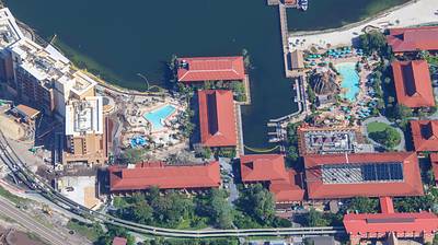
Aerial photo of the east longhouses of Polynesian Resort.
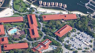
Aerial photo of the center of Polynesian Resort.
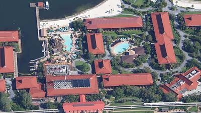
Aerial look at Contemporary Resort.
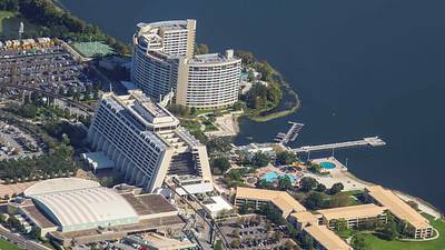
Aerial overview of TTC Transportation and Ticket Center.
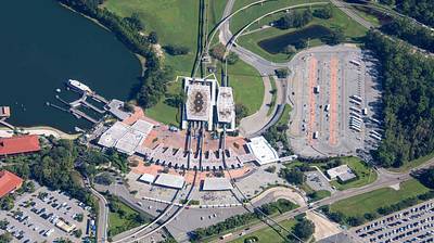
Aerial photo of the Bonnet Creek resort area.
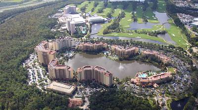
At left in this aerial photo is the shared service area for Caribbean Beach, Pop Century, and Art of Animation resorts.
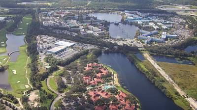
A nearly straight-down aerial look at the Disney Skyliner Caribbean Beach station. Hub of the system, with gondola storage.
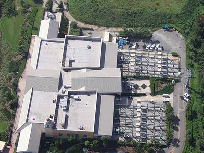
Aerial overview of EPCOT Resorts.
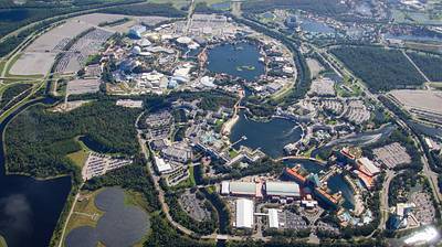
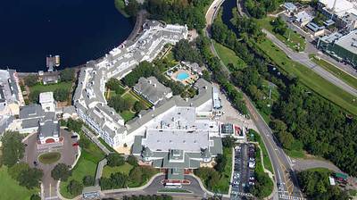
Aerial photo of Disney's Yacht Club and Beach Club.
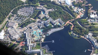
Aerial photo of Walt Disney World Swan Reserve. Reflection of the porte-cochère in the windows.
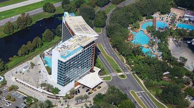
Aerial photo of Disney's Boardwalk Villas.
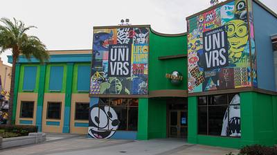
A little bit more green painted at the former UNIVRS store.
Seems like Hurricane Milton may have tilted a spotlight at the PizzeRizzo sign.