February 18, 2024
4:55 PM
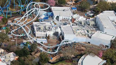
Aerial look at the refurbishment of Antarctica at SeaWorld Orlando, and the addition of the Penguin Trek roller coaster. 📸 Feb 16.
A permanent archive of @bioreconstruct’s aerial photos of construction around Walt Disney World and Universal Orlando — full-resolution originals, preserved daily. Every post links back to its source.
Aerial look at the refurbishment of Antarctica at SeaWorld Orlando, and the addition of the Penguin Trek roller coaster. 📸 Feb 16.
Aerial overview of the upcoming Penguin Trek roller coaster, and refurbished Antarctica section of SeaWorld Orlando. (Feb 16)
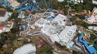
Feb 16 aerial photo of SeaWorld Orlando. Featuring Penguin Trek at top left, Manta top right, and the Dolphin Stadium.
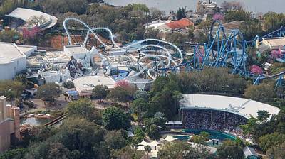
Aerial photo of the Kraken tunnel in SeaWorld Orlando. (Feb 16)
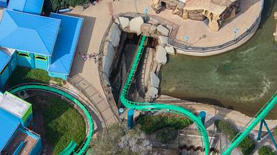
Aerial photo of Islands of Adventure.
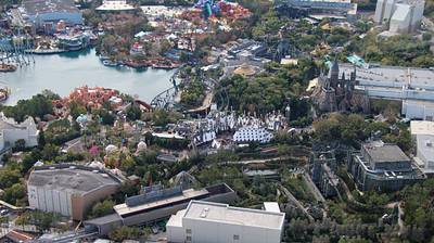
Aerial photo of the VelociCoaster paddock.
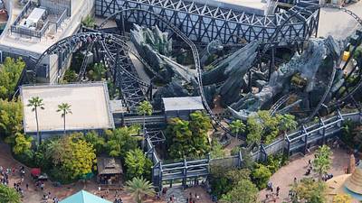
Aerial photo of many Universal Orlando resorts. • Dockside and Surfside. • Cabana Bay Beach Resort. • Royal Pacific. • Aventura Hotel.
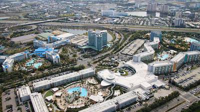
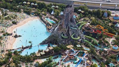
Feb 16 aerial photo of Volcano Bay.
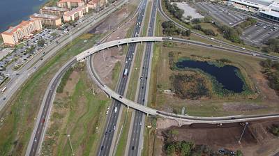
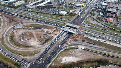
Feb 16 aerial photo of the redo of the I-4 / Sand Lake Rd interchange.
Aerial photo of I-4 lane demolition. At the Sand Lake Rd interchange redo.
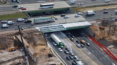
Feb 16 aerial photo of lane demolition of I-4, at Sand Lake Rd.
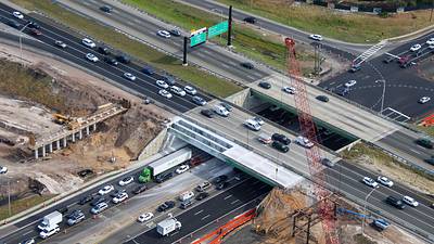
Aerial photo of work at the I-4 WB / SR 538 Beachline interchange. Turkey Lake Rd at right.
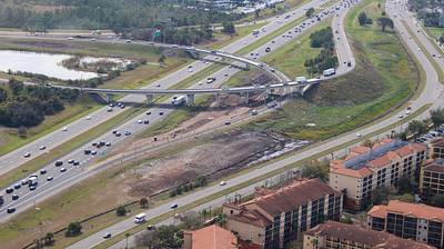
Aerial photos of embankment changes at the I-4 WB ramp to SR 538 Beachline EB.
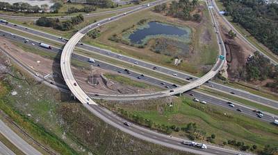
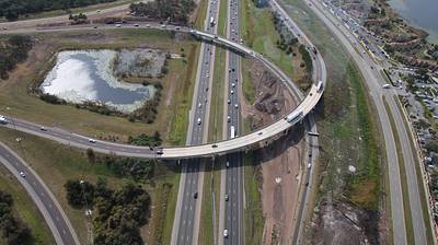
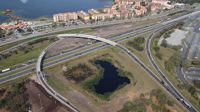
Aerial photo of embankment changes at the I-4 WB ramp to SR 538 Beachline EB. At left and top right.
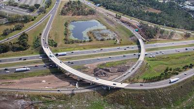
Aerial photo of embankment changes at the I-4 WB ramp to SR 538 Beachline EB. At left and bottom right.